
- Please support our journalism through affiliate links. Affiliate Disclosure
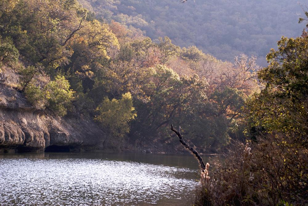
Set on the on the upper Sabinal River in the Edwards Plateau Region of Texas, the Lost Maples State Natural Area offers several miles of rugged hiking trails that snake through dense woodlands and sheltered canyons. The area is home to a wide diversity of plants and wildlife, which can be enjoyed on one of the five hiking trails in the area. The hiking trails include the 36-mile Maple Trail, the one-mile East-West Trail, the three-mile East Trail, the 3.57-mile West Trail, and the 2.57-mile West Loop Trail. Points of interest along the trails include Monkey Grove, Grotto, Spring, and the Scenic Overlook.
37221 FM 187, Vanderpool, TX 78885, Phone: 830-966-3413
Boquillas Hot Springs
Brazos Bend
Cattail Falls Trail
Cedar Flats Trail
Closed Canyon Trail
Crockett Gardens and Falls
Eagle Point Trail
Emory Peak Trail
Enchanted Rock Loop Trail
Gorman Falls Trail
The Gypsum Sand Dunes, Guadalupe Mountains NP
Guadalupe Peak
Kirby Nature Trail and Sandhill Loop Trail in Big Thicket National Preserve
Lighthouse Trail in Palo Duro Canyon
Lost Maples State Natural Area
Muleshoe Bend
Palo Duro Canyon's Rock Garden Trail
Santa Elena Canyon Trail
Twin Falls and Sculpture Falls Via Barton Creek Greenbelt Trail
St. Edwards Park
The Window Trail
The Wild Basin Wilderness Preserve
Upper Guale Mesa Hike in Big Bend Ranch State Park
West Peak Hike
Plan Your Trip
Get Ready to Go!
- Search flights and stays nearby.
- Book your tour or local activity.
- Book your car rental.
Need some more help?
Go to travel reservations.