
5 Orange County Day Trips

Ready for a quick day away? I think that living in Los Angles (and in the Golden State) is made extra fun with all the day trips we can take to Orange County less than an hour by car. Here are my favorite day trips and I hope you'll love them too.
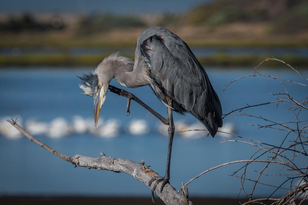
Bolsa Chica Ecological Reserve
This place turned out to be one of the most rewarding trails I’ve ever explored! We reached Bolsa Chica Ecological Reserve just 45 minutes south of Los Angeles. Both admission and parking are free, so you can look forward to an affordable day out.
Here you get to see the peaceful side of Orange County, with herons and calm marshes. Be sure to spend a few hours just walking around and relaxing.
Afterwards, stop for a meal at Harbor House Café in nearby Sunset Beach which has been serving lunch for nearly 90 years. Their veggie scramble came loaded with fresh peppers and zucchini. They also offer a take out menu if you want to pick up your order and have a picnic on the beach.
Local tip: Visit the reserve early in the morning or at sunset for best wildlife activity.
Torrance County Beach
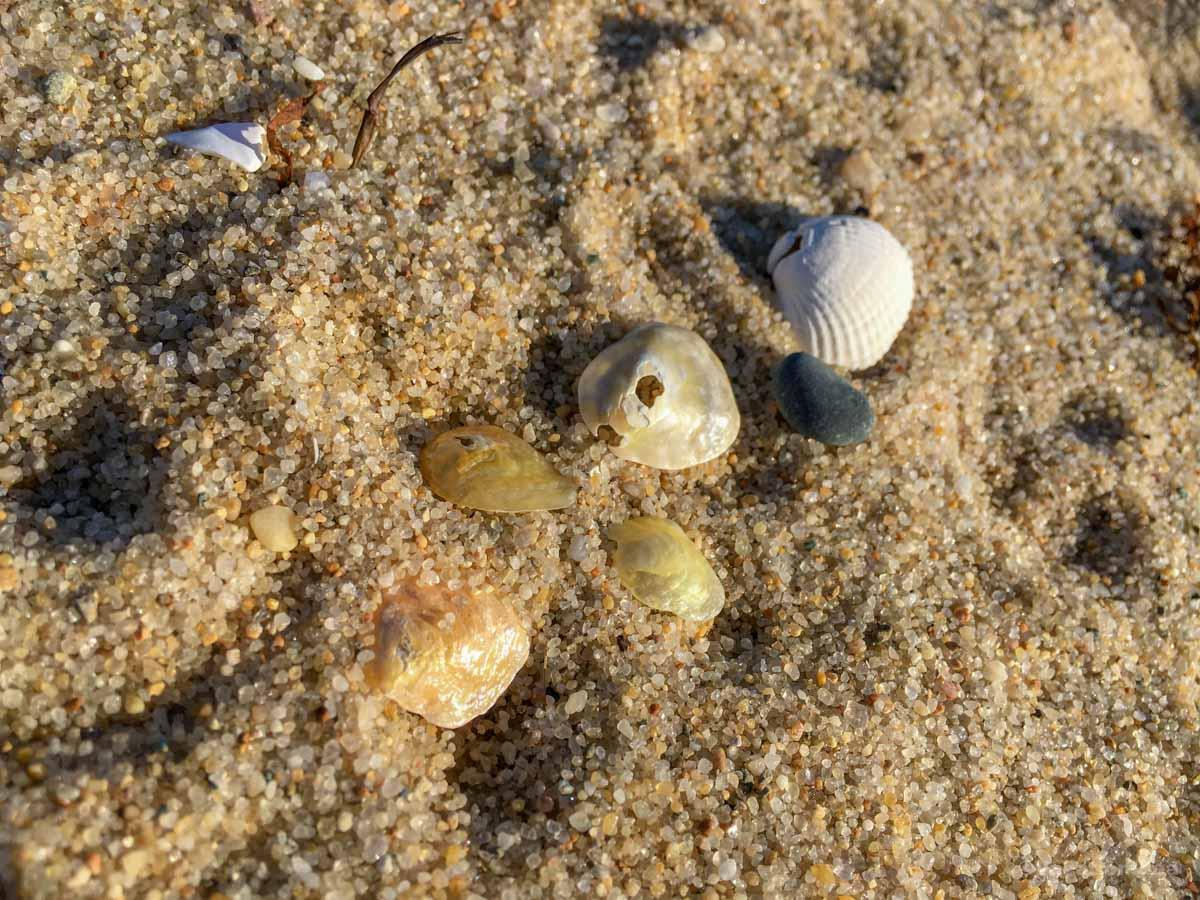
I was wowed by this off-the-beaten path beach in Orange County. I loved that Torrance County Beach was much less crowded than other California beaches we've been to. It's also family friendly with heaps of sand.
I have to warn you that parking lots for this beach are located high above the beach so you'll have to walk down stairs to reach the sand. You usually have to pay for parking.
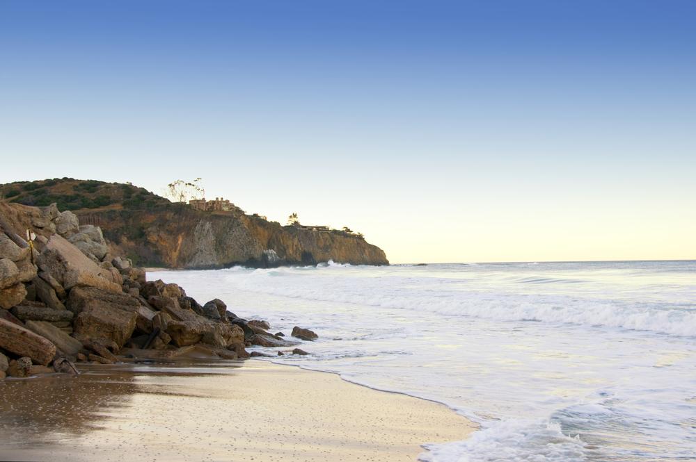
Crystal Cove State Park
This park is absolutely a must-see destination in Orange County pretty much year-round. However, just a heads up that you'll find it much more busy than Torrance County Beach.
You can explore tide pools, visit the Historic District (best parking is at Los Trancos), and visit Moro Canyon (one of my favorite things to do in OC!).
There is a campground here if you decide to turn your day trip into a SoCal weekend getaway. However, be sure to have reservations.
Lunch was a dream at Beachcomber Café, right on the sand. I ordered the grilled mahi mahi sandwich that reminded me of Hawaii.
Parking fee is around $15 per vehicle. The park is open from 6 am to sunset.

Hipcooks
Looking for a day trip idea beyond nature and beaches? Take a hands-on cooking class with Hipcooks: Orange County. You can learn to prepare incredible sushi, pasta from scratch, Indian food, and much more. Just be sure to book ahead of time because popular classes sell out.
Fullerton Arboretum
For me, visiting Fullerton Arboretum on our day trip was an incredible experience. Measuring around 26 acres, this unique Orange Country attraction is home to countless plants from around the world.
We learned that it's actually the largest botanical garden in Orange County. The estimate is that there are 4,000 plants, including many plant species that are near extinction.
