Best Places to Visit in Wyoming

Searching for the best places to visit in Wyoming? Well, you are in the right place! My first road trip to Wyoming was decades ago, and it was all for the chance to see Old Faithful! What actually happened was that I fell in love with this place and it became one of my favorite places to visit in the world!
This is exactly why I decided to share my favourite things in Wyoming so that you can use my guide as an inspiration to plan your own road trip. I landed at Jackson Hole Airport with my husband, where we rented a car and spent our first night at The Wort Hotel in Jackson. The next day, we drove through Grand Teton National Park before continuing on to Yellowstone.
That evening, watching Old Faithful erupt under the stars and then falling asleep at the historic Old Faithful Inn became one of the most unforgettable moments of my life. That’s what The Equality State is like, it surprises you with new adventures at every turn! It’s why I’ll keep going back whenever I can. I hope you, too, find the perfect places for your own getaway.
- Best Places to Visit in Wyoming - Yellowstone Area
- - Yellowstone National Park - Old Faithful Inn
- Best Places to Visit in Wyoming - Jackson Hole Valley
- - Jackson Hole Valley - Spring Creek Ranch - The Wort Hotel in Jackson - Rustic Inn Creekside Resort & Spa
- Best Day Trips in Wyoming
- - Cody - Cheyenne - Casper - Thermopolis
Best Places to Visit in Wyoming - Yellowstone Area
This is Wyoming’s most iconic and awe-inspiring region, home to dramatic geothermal wonders, vast wilderness, and rich Western history.
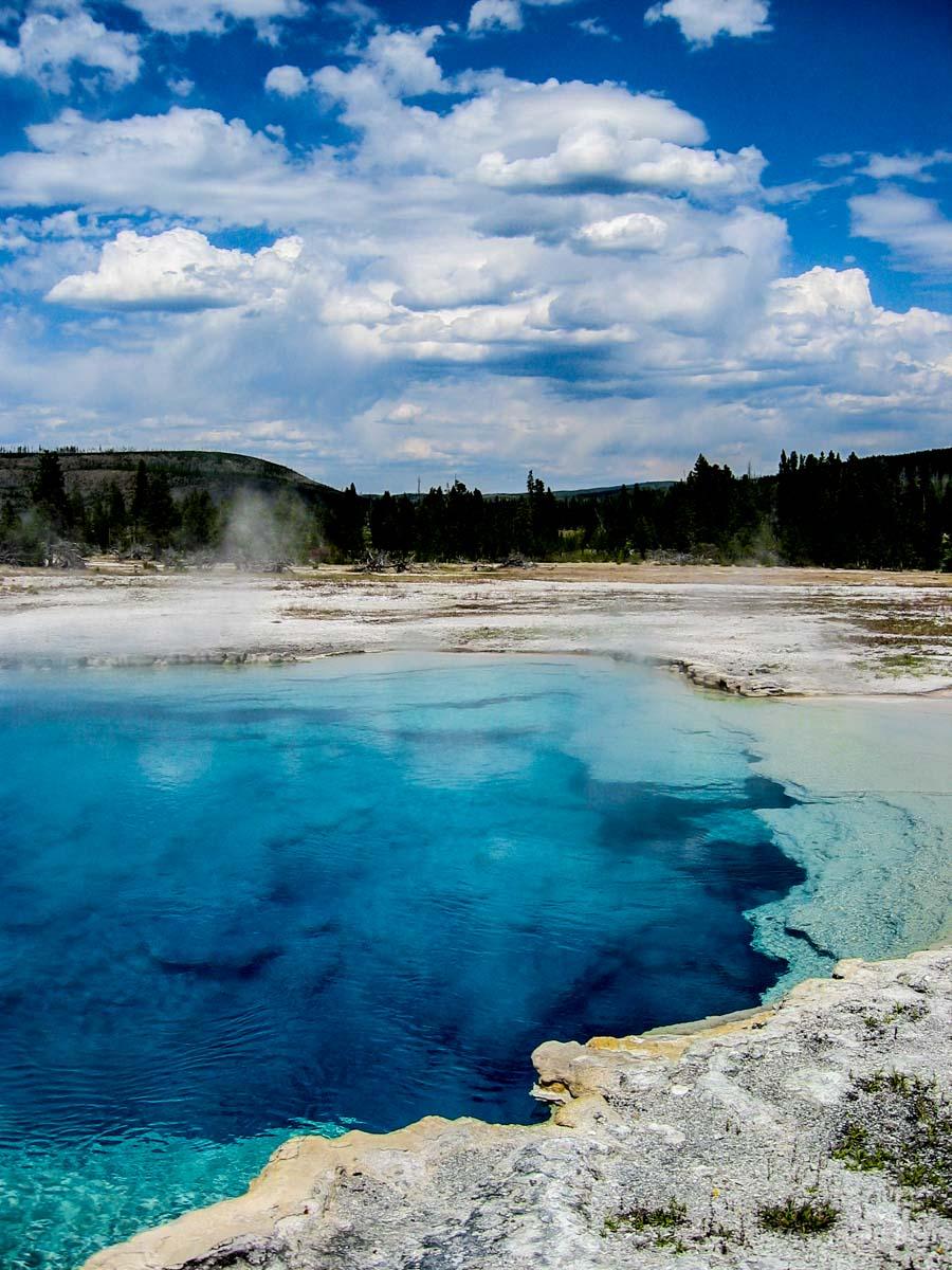
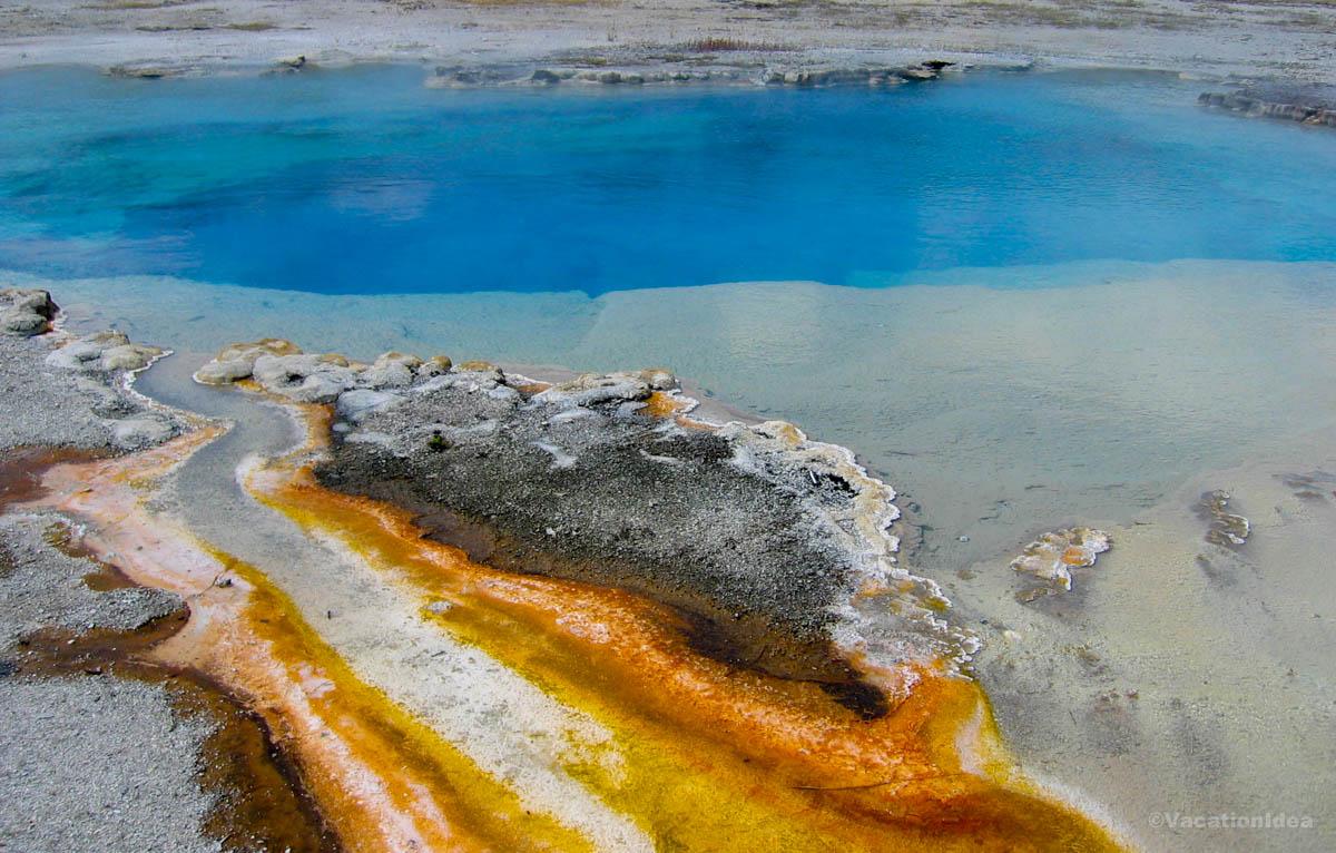
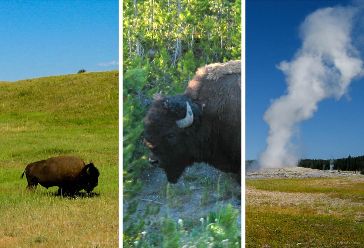
Yellowstone National Park
This is one of my favorite national parks to visit in the USA because it truly has a bit of everything — geysers, wide-open valleys, and wildlife around every corner. There are actually bison strolling right along the roadside as you drive (be careful around them and follow ranger alerts to stay safe!). If you don't want to drive, you can sign up for a tour with a local guide instead.
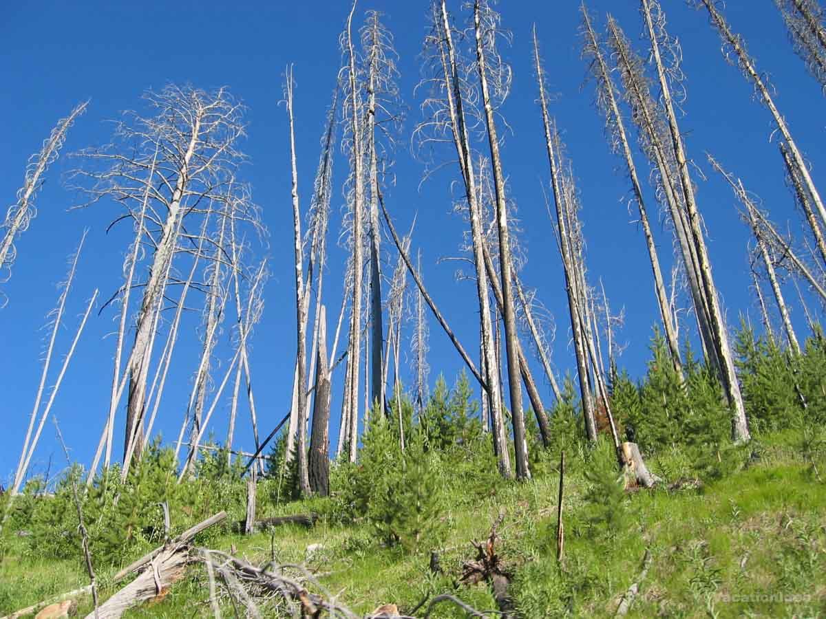
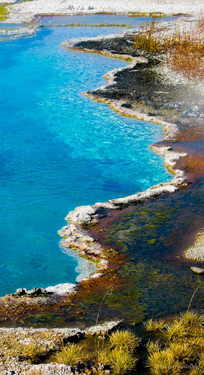
Yellowstone, nicknamed "Wonderland", felt like the Earth showing off: geysers hissing, deep blue lakes (with geysers in them!), wildlife grazing in the distance, and waterfalls crashing over cliffs. Walking along the various boardwalks all around Yellowstone, I was constantly in awe of the surreal colors, one place more unbelievable than the next!
My highlight was a hearty lunch at Old Faithful Inn Dining Room. It was buzzing with visitors who were excited to witness an Old Faithful eruption, and I found their excitement catching! In addition, the food was surprisingly delicious for such a touristy spot - I had the bison meatloaf with mashed potatoes and huckleberry sauce.
What I loved best:
Sitting beside Yellowstone Lake at dusk, the air crisp and quiet, geysers bubbling, and watching the sky stretch wide over water that looked like glass was my personal highlight!
Local tip:
You can enter Yellowstone from Wyoming like we did on this trip, Montana or Idaho. Although there are many places to stay just outside the park (which we usually do to make the trip more affordable!), I also love spending two nights at Old Faithful Inn right in the heart of the park!
A downside? The park is vast so you need to plan your visit carefully to make sure you get to see what excited you the most before you run out of time, otherwise you may miss something and only realize it after you leave.
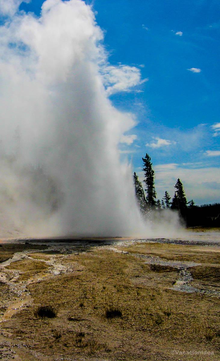
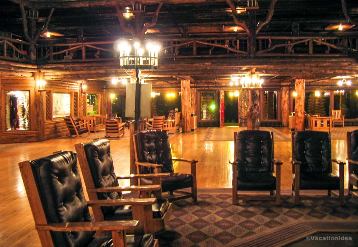
Relaxing at Old Faithful Inn
We absolutely love Old Faithful Inn, and have been many times. Sitting just steps from one of the world’s most famous geysers, this historic inn offers one of the most unique stays I’ve ever experienced in a national park. It had a grand wild West vibe with a giant fireplace and huge leather chairs in the lobby!
We watched the Old Faithful geyser (just outside the inn!) late into the night and spent the night at Old Faithful Inn. I instantly thought our journey was worth it!
- Location: Map & Directions
Local tip: Be sure to book early because rooms completely sell out, especially in June, July and August, even on weekdays!
Best Places to Visit in Wyoming - Jackson Hole Valley
Framed by the Teton Range, the valley offers a unique blend of rugged wilderness and refined amenities.
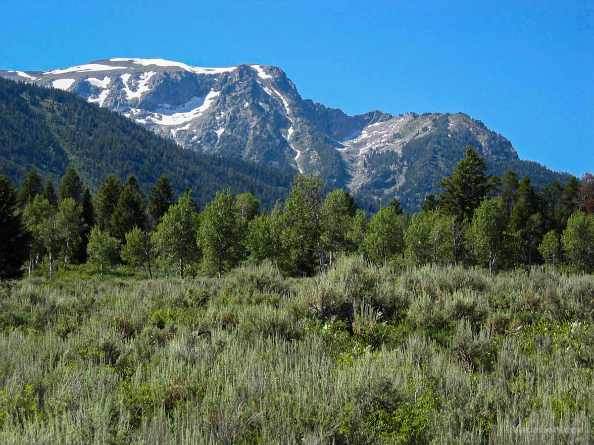
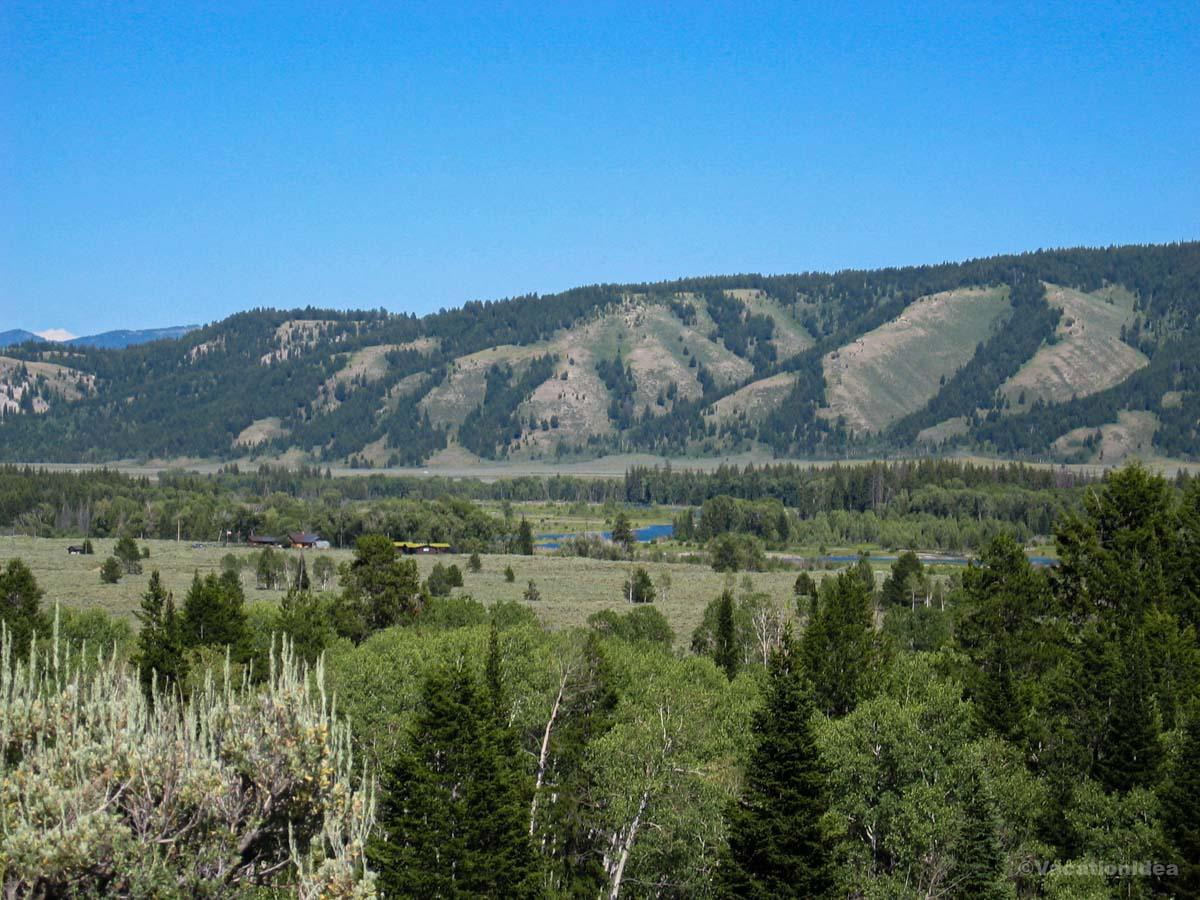
Jackson Hole Valley
This is one of my favorite places in Wyoming because it truly feels like the gateway to the Wild West. In fact, there’s something about Jackson Hole Valley that instantly made me feel like I’d uncovered a spectacular Western treasure!
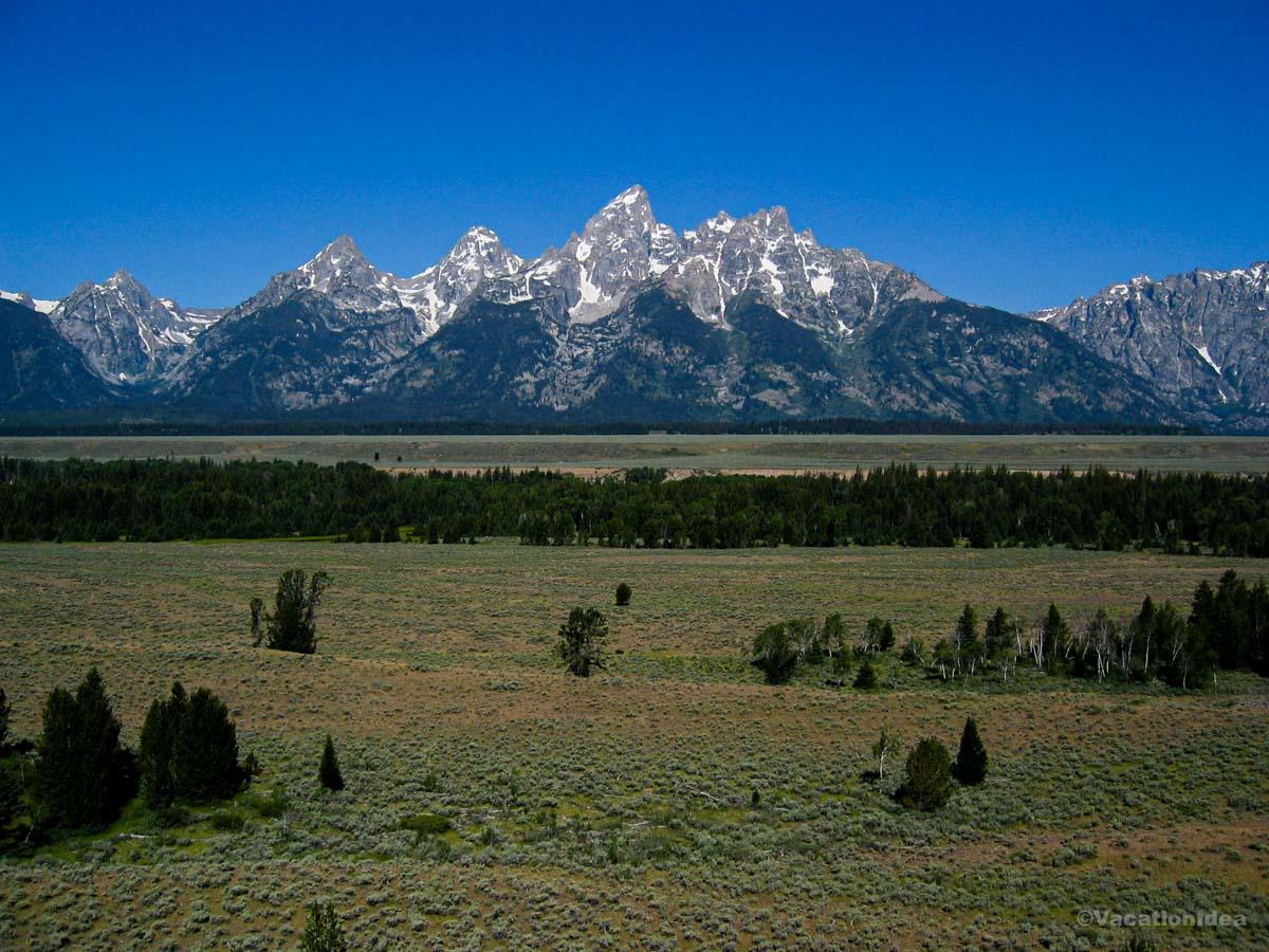
We landed at Jackson Hole Airport and immediately I was thrilled by the scenery. This place was all wide valleys and wild soul, and the Tetons sliced into the sky like a painting come to life.
From the airport, we drove 15 minutes to the town of Jackson where I felt suspended between a frontier past and a mountain-sport present. It wasn’t just the scenery, it was the feeling that adventure was always just around the bend that completely won me over. I loved that the town does such a great job keeping the old spirit alive with the daily Jackson Hole Town Square Shootout (May 31st through Labor Day) and other events. I have to warn you, though, that parking can be a challenge!
There are heaps of amazing things to do here! Next morning we had the best adventure just driving to Grand Teton National Park, taking the boat shuttle across Jenny Lake ($20 for adults round-trip) and hiking past waterfalls along Hidden Falls trail towards Inspiration Point.
In the afternoon, we rode the aerial tram in Teton Village up the mountain for an incredible view (tickets from $50 for Adults round-trip).
- Location: Map & Directions
What I loved best:
Snake River Grill in Jackson with its cozy wood interior was my favorite highlight. Their elk medallions came perfectly seared, rich, and earthy, a taste of the wild.
The Cons: The beauty comes with popularity. Summer crowds can mean longer waits for meals and busy trailheads. You’ll want to plan ahead and start your hikes early in the day.

Spring Creek Ranch - 25 minutes from Jackson Hole Airport
Ready for a mountain stay that feels both convenient and secluded? There’s something about this ranch that instantly made me feel like I’d uncovered a real Wyoming treasure. We drove up a winding road from Jackson, climbing higher until the town fell away below us, and soon it felt like we had entered another world.
I chose Spring Creek Ranch (from $255/night) for two nights for its vantage point, and from the moment I opened the door to our suite I was won over. A stone fireplace anchored the living room, and the balcony had views that stretched toward the mountains.
I loved that Spring Creek Ranch is designed for travelers who want the best blend of wilderness and comfort. I appreciated being able to choose from a range of accommodations, from hotel-style rooms for singles and couples, to spacious townhomes and mountain villas for families and large groups.
You get to wake up to sunrise over the Tetons, watch moose graze in the valley below, and book a horseback ride along the ranch’s trails. Families can take the shuttle into Jackson for shopping and art galleries, then return here for stargazing without the noise of town.
What I loved best:
Dinner at The Granary Restaurant, right on the property was my favorite highlight. The windows stretched floor to ceiling, framing the Tetons as dusk softened the peaks. My elk tenderloin was smoky and rich, paired with potatoes that soaked up the savory sauce.
The Cons: Because Spring Creek Ranch is set on a hill above town, you need to drive (or take the shuttle) down for most activities and restaurants. The road can feel long at night, so you should plan ahead if you want to explore downtown after dinner.
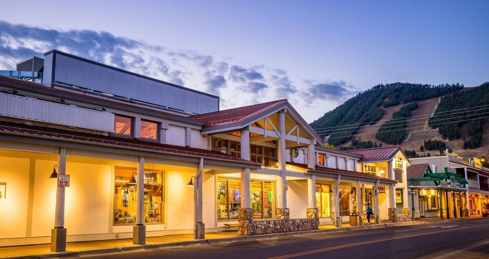
The Wort Hotel in Jackson
What I really love about this place is how effortlessly it captures the spirit of Jackson Hole. Inside The Wort Hotel (from $409/night), I felt folded into Jackson’s past.
The lobby glowed with polished wood and Western-style paintings, and I could almost hear the echoes of old cowboy stories as I sank into a leather armchair. My room carried that same sense of western elegance, heavy with carved details and thick blankets.
Downtown Jackson is packed with art galleries, western shops, and some of the best restaurants in the region. The iconic elk antler arches in the town square make for the best photo op (see my picture), and if you visit in winter, Jackson transforms into one of the best ski towns in the Rockies.
What I loved best:
Dinner at the hotel’s Silver Dollar Bar & Grill was my favorite highlight. My ribeye came with potatoes crisped just right, and the flavor was deep, charred, and comforting.
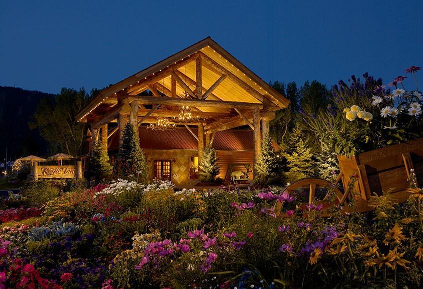
Rustic Inn Creekside Resort & Spa
Set right along its own private stretch of Flat Creek, this resort feels like one of the most inviting hideaways in Jackson, and I think it’s one of the absolute best places to unwind after a day of exploring. Why? First off, The Rustic Inn offers spacious cabins, and warm lodge vibes. In addition, it’s that rare mix of nature, comfort, and convenience all in one.
Our cabin-style suite for two days opened right onto the creek, and at night I could hear the water outside my window.
For travelers who want one of the best combinations of rustic charm and modern comfort, I thought that the Rustic Inn Creekside Resort & Spa delivers in a big way!
Need a quick recommendation for a kid-friendly Wyoming vacation? If I had to choose just one, I’d say Rustic Inn Creekside Resort & Spa is the most family-friendly. The cabins, open space, and creekside setting give kids freedom while still keeping parents relaxed.
Check prices at Rustic Inn Creekside Resort & Spa.
What I loved best:
Dinner at the Rustic Inn Bistro was my favorite highlight. The scent of roasting game drifted through the dining room, and I chose the bison short ribs.
Best Day Trips in Wyoming - Other Areas
Beyond Wyoming’s most famous destinations, the state’s other regions offer equally compelling experiences rich in history, culture, and natural beauty.
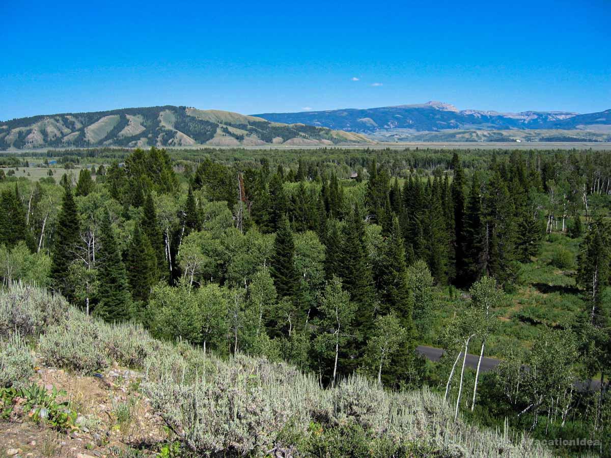
Things to Do in Cody
This lively town on the eastern edge of Yellowstone is one of my favorite places to visit in Wyoming when I want a mix of frontier spirit and modern comfort.
We left Jackson Hole early in the morning, heading east toward this cool little town. The drive took about 4.5 hours, winding through mountain passes and open plains. The road traced the edge of Yellowstone, so the scenery kept shifting, jagged cliffs, wide valleys, and the kind of big sky that makes you roll down the window just to breathe it in.
My goal was simple: experience the spirit of the Old West, learn more about Buffalo Bill, and end the day with a hearty meal before resting in town.
Cody felt like a crossroads, history pressed close, yet the town was alive with rodeo posters and rustic storefronts. The Shoshone River cut nearby, carrying its own rhythm through the valley.
I walked through the Buffalo Bill Center of the West ($23 adult admission, kids $16) and it completely changed how I see Cody because it dives deep into the culture, people, and landscapes that shaped the West. The galleries stretched from Plains Indian history to western art, each room adding a layer to the story of the frontier. My son loved the interactive exhibits.
We also enjoyed an evening at the Cody Nite Rodeo (June–August), wandered through Old Trail Town with its authentic frontier buildings, and walk down Sheridan Avenue lined with shops and western saloons.
- Location: Northwestern Wyoming, near the eastern entrance of Yellowstone National Park
- Location: Map & Directions
What I loved best:
Lunch at Trailhead Bar and Grill where we had great wood-fried pizzas was my favorite highlight. The atmosphere was casual but warm, filled with families and travelers swapping stories of the road.
The Cons: The town is small, so lodging can book quickly in summer. You should expect higher prices during peak season, and if you’re not into rodeo or western history, options feel a little limited.
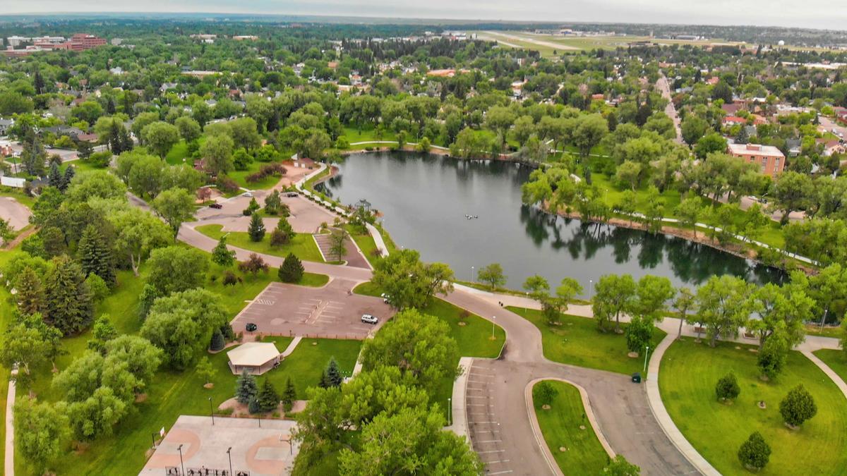
Cheyenne
Ready for a trip that mixes frontier history with modern charm? Check out Cheyenne, a real standout! We left Cody in the early morning, heading southeast toward this unique city. The drive stretched about 6 hours, crossing plains that seemed endless.
Cheyenne felt rooted in its western pride - Brick streets framed by old theaters and government buildings mixed with murals and cowboy boots at every corner. The Cheyenne Depot Museum (the steward of the Historic UPRR Depot, a National Historic Landmark) stood tall as a reminder of how railroads shaped this place.
In addition, we enjoyed a guided tour of the Wyoming State Capitol (free admission), and walked along Sheridan Street lined with western shops and bronze statues.
When I visited the Cheyenne Frontier Days Old West Museum ($15 admission, kids $10), I felt drawn into the grit and spectacle of the world’s largest outdoor rodeo.
- Location: Southeastern Wyoming, near the Colorado border
- Location: Map & Directions
What I loved best:
The Albany, right across from the Depot was a standout. Their chicken-fried steak arrived golden and crisp, with mashed potatoes that tasted like comfort itself. The setting was casual, with wooden booths that felt unchanged for decades.
The Cons: This place can feel quiet outside of Frontier Days (late July). If you come in off-season, expect fewer events and a slower pace, which may not appeal if you’re chasing constant activity.
Casper
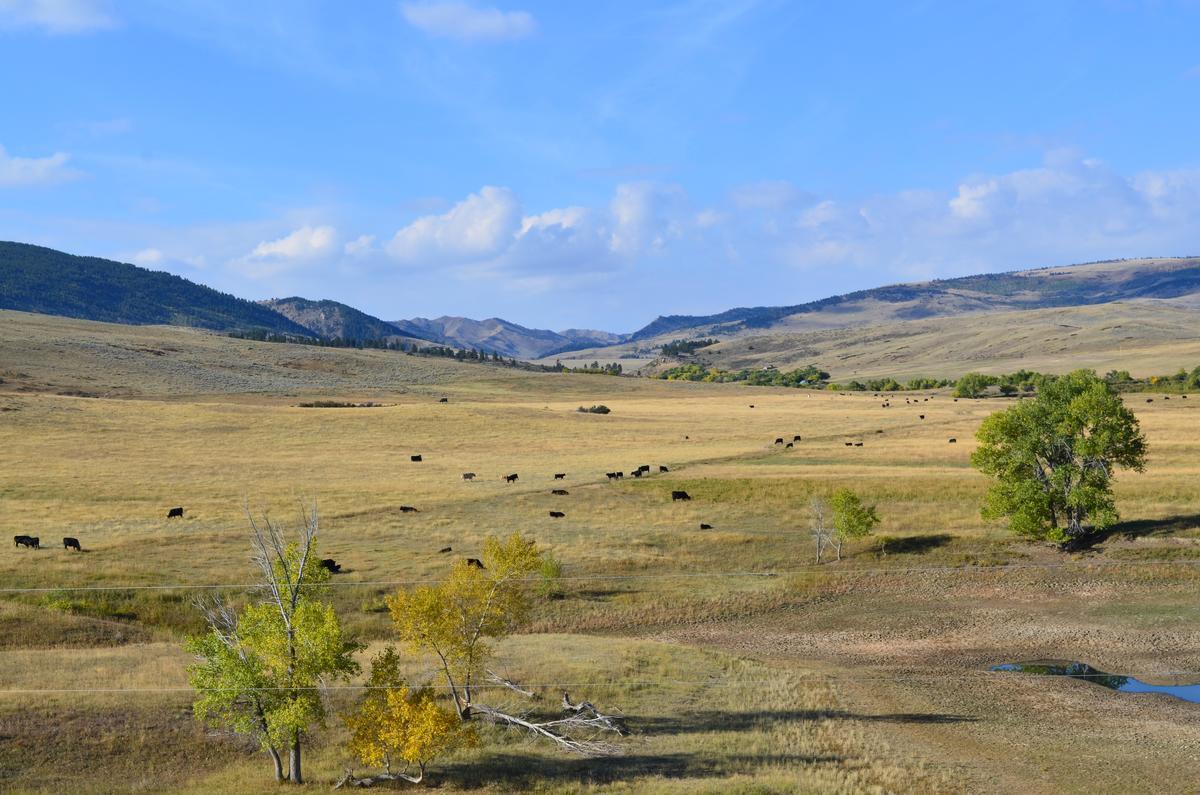
There’s something about this town that instantly made me feel like I’d discovered a laid-back gem in the heart of Wyoming on our road trip.
We left Cheyenne in the morning, heading northwest toward Casper - The drive was about 3 hours.
The first time we visited Casper, Wyoming, I wasn’t sure what to expect—but it completely won me over. Set along the North Platte River and surrounded by wide-open landscapes, Casper feels like the perfect blend of rugged Western spirit and small-city charm. The scenery is expansive, the air feels cleaner somehow, and there’s an unmistakable sense of freedom that comes with being in the heart of Wyoming.
Casper is best known for its outdoor recreation and Old West history. This is true cowboy country, and it shows—from the local culture to the landscapes that stretch endlessly in every direction. At the same time, the city has a surprisingly vibrant arts scene, great museums, and a welcoming downtown that makes it easy to settle in and explore.
What I really liked about Casper is how accessible nature is. You’re never more than a few minutes from hiking trails, river views, or open plains. The North Platte River runs right through town and is a major focal point, especially in warmer months when people are fly fishing, kayaking, or just relaxing along the riverwalk. Even if you’re not outdoorsy, simply being surrounded by that much natural beauty is refreshing.
One of the standout experiences in Casper is diving into its history. The National Historic Trails Interpretive Center is a must-visit—it does an incredible job telling the stories of the pioneers who traveled the Oregon, Mormon, California, and Pony Express Trails. It’s interactive, well-designed, and gives you a real appreciation for what people endured to travel west. Nearby, Fort Caspar Museum adds even more context with reconstructed buildings and exhibits that bring the frontier era to life.
Casper is also an excellent base for scenic drives and day trips. Casper Mountain is right outside the city and offers hiking, mountain biking, and stunning views over the plains below. In the winter, it transforms into a local ski and snowshoe destination. No matter the season, the contrast between the mountain terrain and the open prairie is striking.
Downtown Casper surprised me in the best way. It’s compact and walkable, with local shops, breweries, coffee spots, and restaurants that feel genuine and unpretentious. The food scene leans hearty and comforting, which feels exactly right after a day spent outdoors. Locals are friendly, conversations come easily, and everything moves at a more relaxed pace.
- Location: Central Wyoming, along the North Platte River
- Location: Map & Directions
What I loved best:
FireRock Steakhouse was a standout - Their wood-fired ribeye arrived (from $35.95) with a smoky crust and tender center, filling the room with the rich smell of hickory.
The Cons: This town is quieter than Jackson or Cheyenne. Nightlife is limited, and some attractions close early.

Thermopolis
This is one of my favorite small towns to visit on a road trip in Wyoming because it blends natural beauty with total relaxation.
We left previous stop in Casper in the late morning and drove northwest toward this town - The trip took about 2.5 hours.
Thermopolis felt like a hidden pocket of relaxation tucked into Wyoming’s rugged landscape. I stepped into the famous Hot Springs State Park, enjoyed soaks at the State Bath House, explored colorful terraces of mineral deposits, and took a short hike along the swinging bridge across the Bighorn River.
Where To Eat: You can try One Eyed Buffalo Brewing Company. Their bison burger came juicy and smoky, served with fries that tasted freshly made.
- Location: North-central Wyoming, along the Big Horn River
- Location: Map & Directions
What I loved best:
For me, Thermopolis is one of the best places to visit in Wyoming because it's scenic and the hot springs are so relaxing!
When I soaked at Hot Springs State Park (free, 20-minute limit per visit), I felt the tension from the road slip away, my favorite highlight. The mineral water was hot but not overwhelming, and as steam rose around me, I looked up at the canyon walls glowing in the late afternoon sun.
The Cons: The town is small, so options for lodging and dining are limited.
Booking Checklist
1. Book Your Flight - I use Expedia because I like their mobile app with my itinerary. They've helped me re-book flights on many occasions. Once you reach their Gold tier, support is especially good.
2. Book Your Hotel - I use Booking.com or Expedia, depending on my destination.
3. Book Your Rental Car - I use Expedia.
4. Book your tours on Viator or Get Your Guide.
5. If you are planning to visit more than three national parks in the next 12 months, we've found that buying the America the Beautiful Pass is cost effective.
