Places to Visit in November

Looking for where to travel in November? You've come to the right place. I’ve always thought November was one of the easiest times to travel (except over Thanksgiving week when the airports are super busy). In fact, for an affordable vacation idea, I've found that the first two and a half weeks in November are especially great if you want to cash in those hard-earned airline miles. After years of exploring from coast to coast, and on our recent four week road trip, I’ve discovered some truly special spots. I hope you’ll enjoy them too.
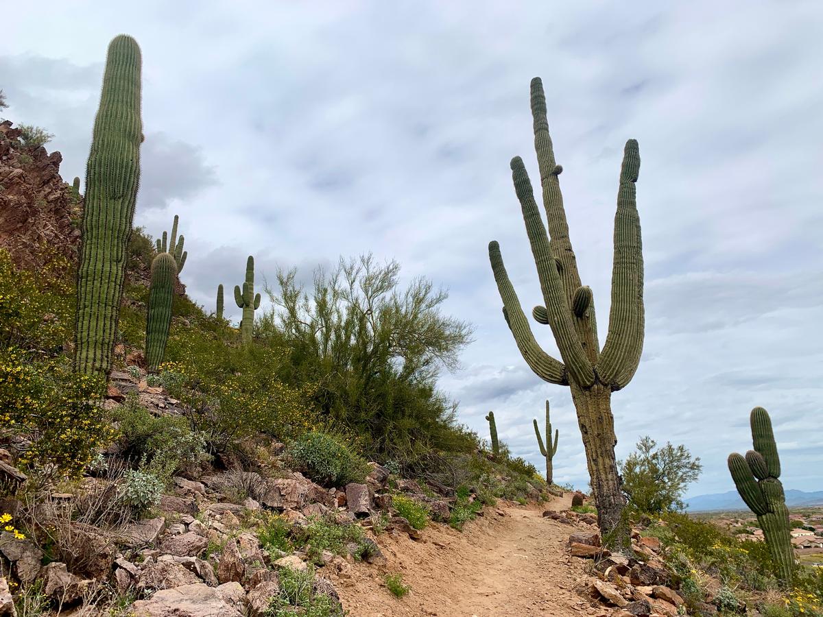
Peoria, AZ
What I love most about visiting this area in November is how peaceful the Sonoran Desert becomes. I found Peoria to be a hidden gem of the American Southwest. Not only is there incredible outdoor adventure, but also great arts. The weather was pleasantly mild this month. You'll find daytime highs perfect for strolling, and cool evenings ideal for cozy dinners.
We arrived via Phoenix Sky Harbor International Airport (just a 40-minute drive away) and stayed for three very sunny days. Accommodation deals were plentiful thanks to it being shoulder season just before the Thanksgiving vacation rush.
You can hike through the scenic Westwing Mountain Preserve with its desert wildflowers, enjoy the view at Lake Pleasant, and end the evening strolling through Old Town Peoria. You'll find uniqu eateries, murals, and historic sites.
- Location: Southwestern United States
- Average November temperature: 50°F – 73°F (10°C – 23°C)
- Map
What I loved best:
Peoria Cafe was my favorite spot for breakfast and packed lunch which I ate on the trail later.
Garrison
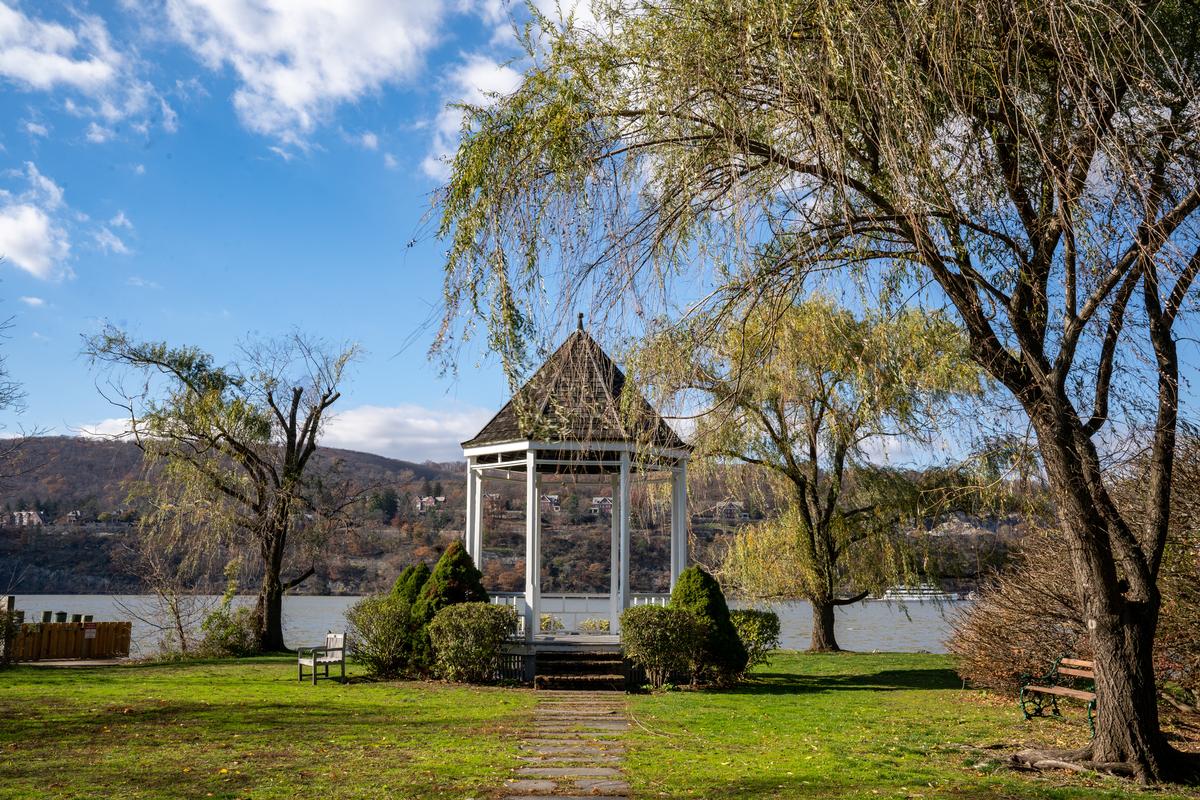
I thought that this was one of the best places to visit in November when I moved to New York.
Why? I loved seeing the Hudson Valley go through that magical transition from autumn to winter on our road trip. The air was crisp, the last of the golden leaves were still clinging to the trees, and while ski season hadn’t fully arrived, the nearby slopes and outdoor adventures were beginning to get ready for the season.
I took the Metro-North Hudson Line from Manhattan's Grand Central ($15–$20 one way on) from our NYC apartment. It's an easy day trip, with sweeping riverfront views along the ride.
I spent my time on the trails at Manitou Point Preserve for two hours, wandering around the peaceful grounds of Boscobel House and Gardens, visiting Manitoga/The Russel Wright Design Center, and enjoying a riverside stroll with views of the Hudson Highlands.
- Location: Hudson Valley, New York
- Average temperature: 34°F – 50°F (1°C – 10°C)
- Map
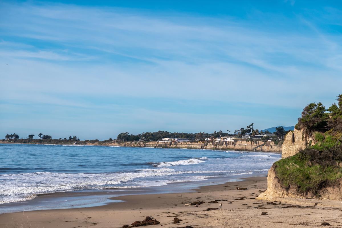
Goleta, CA
This place absolutely stunned me with its natural beauty. In fact, tThis is one of my favorite places to unwind near Santa Barbara because this coastal California beach town has that calm atmosphere without the crowds.
My husband, son and I drove about 1 hour 45 minutes northwest from Los Angeles to "The Good Land". I instantly thought our journey was worth it!
I was pleasantly surprised to find seasonal festivities too, like the Goleta Holiday Parade, the Old Town Tree Lighting, and the lively California Harvest Celebrations. They are all set against a backdrop of ocean views and rolling foothills which I think makes Goleta one of the best places to visit in November.
Getting to Goleta is simple. If you’re coming from Santa Barbara, it’s about a 15-minute drive north on Highway 101, or you can take the Amtrak or Pacific Surfliner train to the Goleta station. If you’re flying in, the Santa Barbara Airport is actually located in Goleta, making it one of the easiest coastal destinations to reach in Southern California.
Goleta Beach Park is a great place to start with its long pier, ocean views, and easy walking paths. Nearby, the Ellwood Mesa Coastal Trail offers beautiful views. You can spot monarch butterflies in the winter.
Goleta has a food scene that’s well worth exploring. There are plenty of places to grab fresh seafood, tacos, or coffe. If you’re into wine, the nearby Santa Ynez Valley is easy to explore on a half day road trip.
Another idea is a full-day Santa Barbara–area tour that includes Goleta. These tours usually cover beaches, viewpoints, and local neighborhoods. It's an easy way to see the highlights without worrying about logistics.
- Average temperature: 50°F – 70°F (10°C – 21°C)
What I loved best:
My highlight was oceanfront dinner at The Ellwood at Goleta Beach...watching the sky go from orange to pink at sunset was unforgettable.
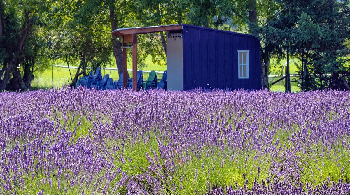
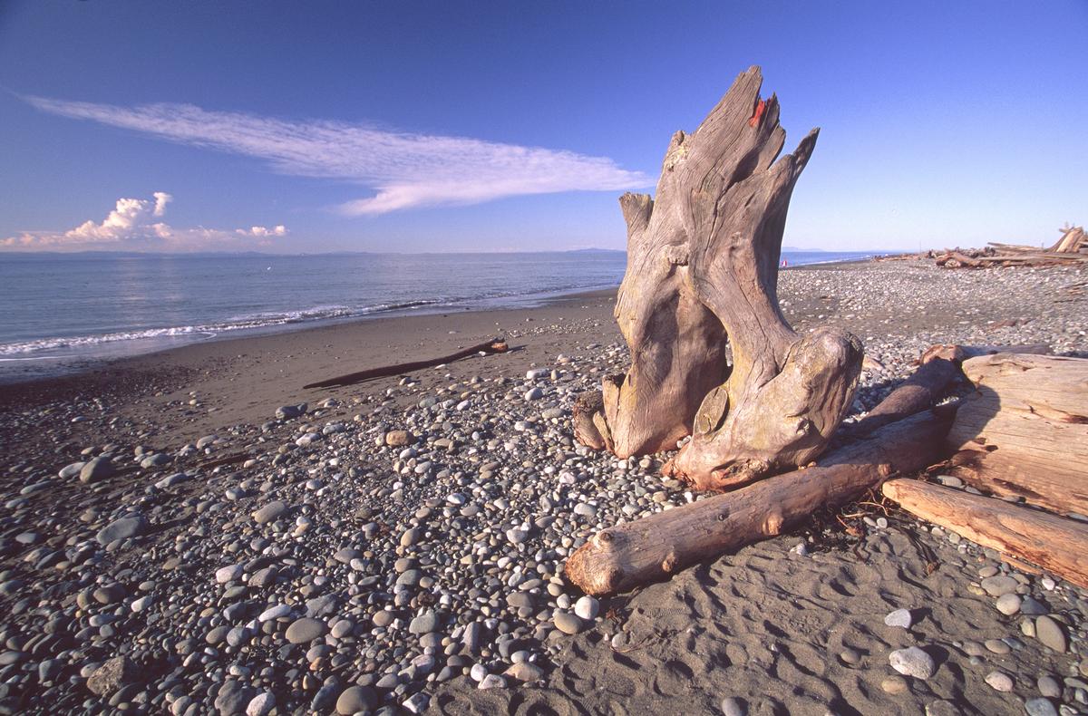
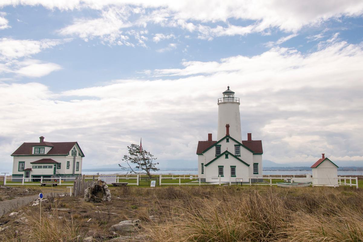
Sequim, WA
I thought this peaceful Pacific Northwest town was a stunning hidden gem when we visited in late November. The weather was crisp and the lavender fields were serene without the summer visitors. I was completely won over.
We drove just over two hours to the Olympic Peninsula near Port Angeles and across the water from Seattle.
I think that Dungeness Spit is a great first stop for a bit of hiking. I have to warn you that the wind is chilly and you have to dress warmly. Head to town for coffee after. You can explore local shops and galleries.
If you are up for a bit of driving, Olympic National Park is completely doable as a day trip from Sequim, a little over two hours each way. Heads up that it rains a lot in November. As you drive along the coast, be prepared to stop for beautiful views and photos.
What I loved best:
My highlight was tasting lavender-infused cider and truffles at a boutique farm shop.
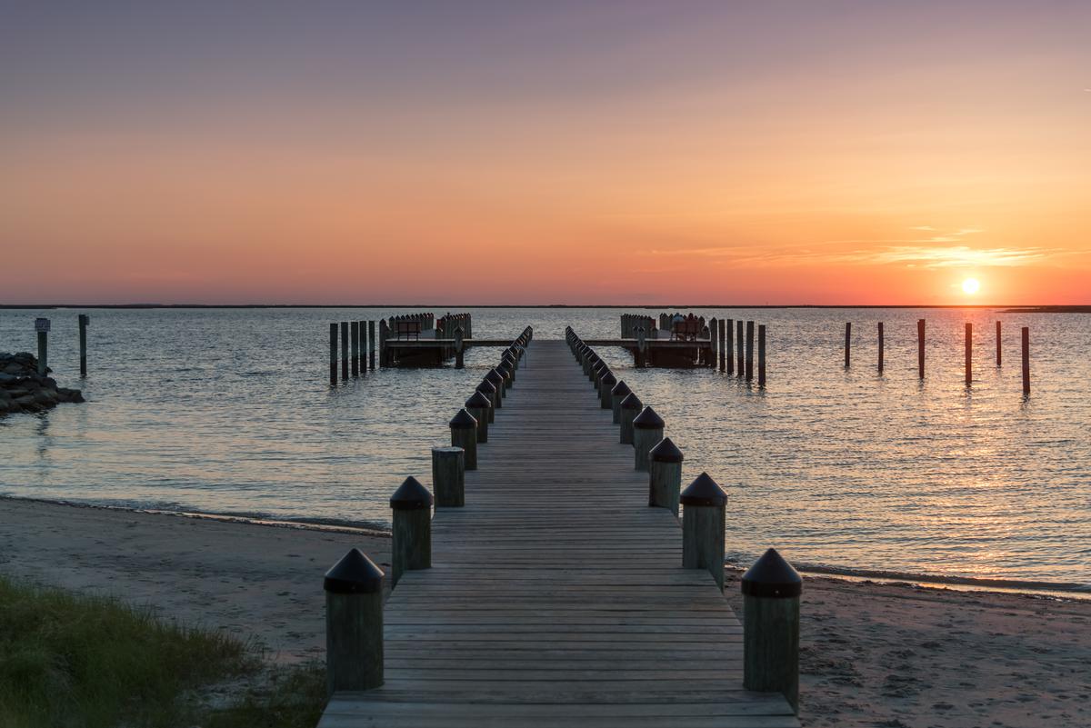
Crisfield, MD
I thought this place of approximately 2,500 residents was seriously insta-worthy when we visited! In fact, this was one of my favorite little towns for a visit in November because the sunsets just invited us to photograph them.
Moreover, we found the weather ideal for walking along the waterfront, and enjoying views of Tangier Sound.
We flew from Austin into Baltimore (about 3 hours nonstop) and then drove 3 hours southeast to Crisfield on our road trip. I loved that it's a small fishing town of just 2,500 people on the Chesapeake Bay.
By autumn, the summer crowds had faded and the whole place returned to its authentic Eastern Shore feel.
You can take a ferry out to Smith Island, birdwatch at Janes Island State Park (since it's too cold for swimming in November), and visit the fascinating J. Millard Tawes Museum to learn about the area’s maritime history.
I thought that the town’s reputation as the “Crab Capital of the World” lived up to the hype with its casual seafood shacks.
- Location: Crisfield, Maryland (Chesapeake Bay, Eastern Shore)
- Average temperature: 40°F – 58°F (4°C – 14°C)
- Map
What I loved best:
Prices were very reasonable during our seven day stay in an affordable vacation rental.
Rates at the 2-star Somers Cove Motel were very reasonable in November so we decided to stay and extra night!

Adrian, MI
This was one of my favorite small-town getaways in southeast Michigan this month, just under an hour from Ann Arbor (and an hour and 20 minutes from Detroit).
For me, Adrian (population around 20,000) was an especially lovely November day-trip destination. You'll find it calm, reflective, and perfect for slowing down as the season changes.
We started at Hidden Lake Gardens, perfect in the off season. My favorite part was walking on the winding trails, and seeing the lake.
Next, we explored Downtown Adrian. It had historic buildings, shops, and cafes. We shared a comforting meal at a local restaurant.
- Average temperature: 32°F – 47°F (0°C – 8°C)
What I loved best:
Burger at Alpha Koney Island was my personal highlight.
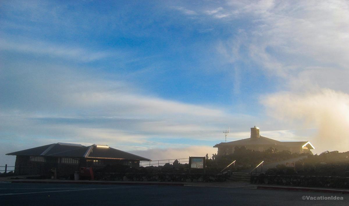
Haleakala National Park, Maui
Seeing the sunrise from the top of Haleakala on the tropical island of Maui, nicknamed the "House of the Sun", was on my bucket list for a long time.
Finally, when we moved to Hawaii, we got a chance to see it. And I can tell you that it was worth the wait! It took some preparation because you have to drive up in the dark. I have to warn you that getting in the car and driving up the (dormant) volcano in the dark to catch the sunrise can be a bit stressful. Luckily there is a tour you can join with a local guide that takes care of the driving.
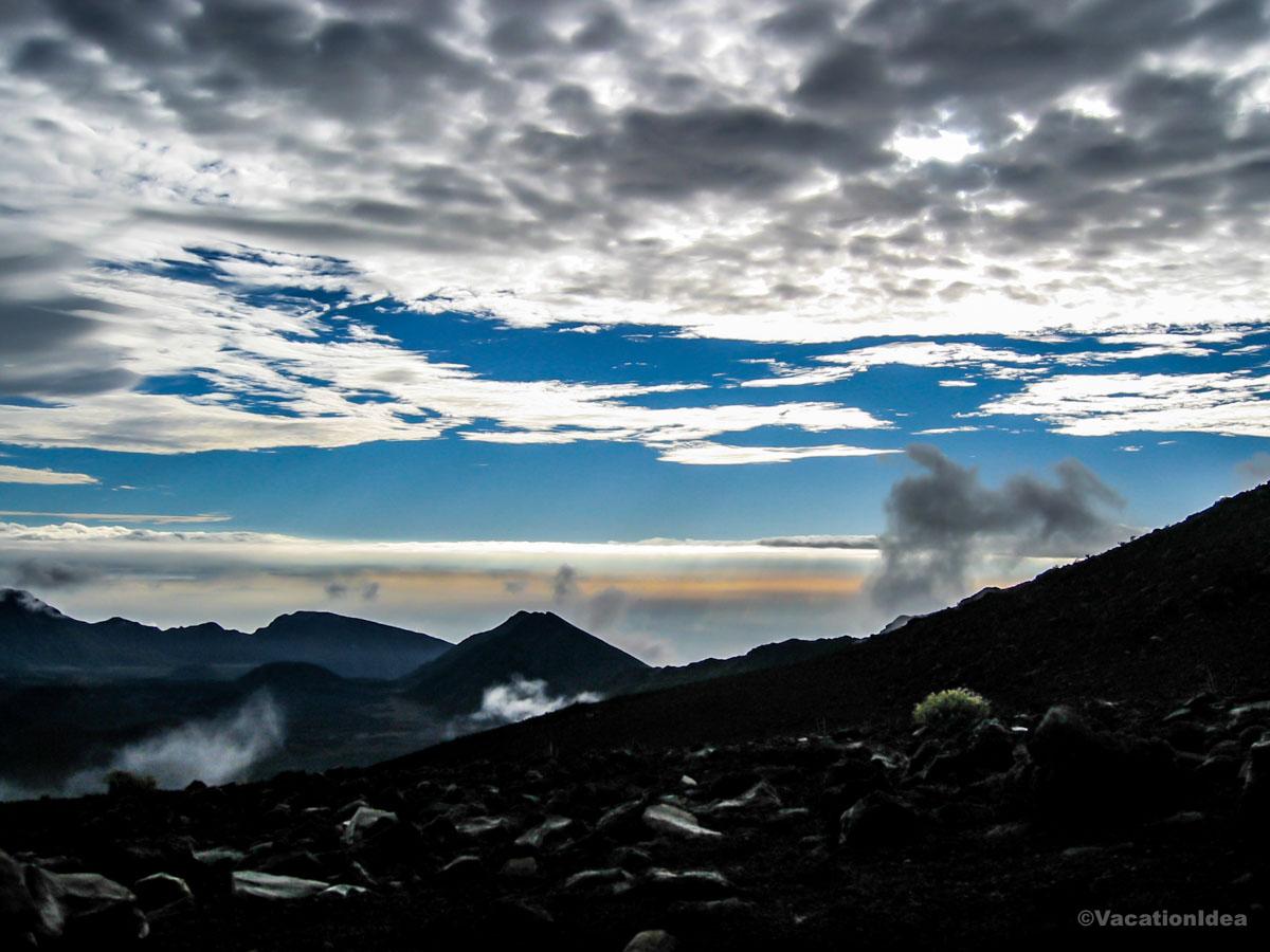
We stayed in a vacation rental up on the hill to cut down on our morning driving time. We arrived about 10 minutes before the sunrise and there were a few tour groups there already. At first, it looked like it was going to be too cloudy to see the sunrise and I braced myself for disappointment. But then, suddenly, the sun burst out revealing this other wordly volcanic landscape with cinder cones lit in golden lights. I took heaps of photos and the experience was absolutely unforgettable!
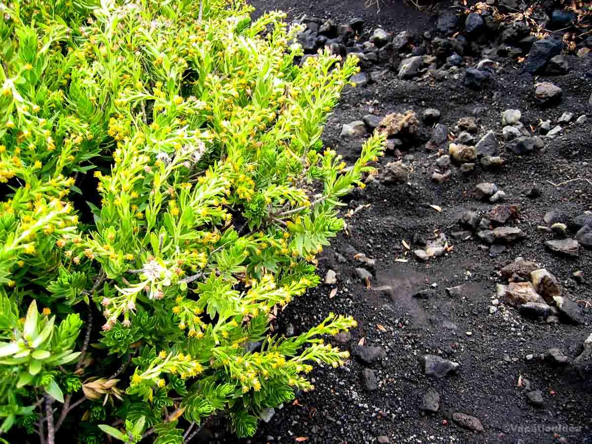
After the sunrise, we went into the crater for some hiking. The crisp air at the summit made exploring the volcanic landscape very comfortable. There were a few other people but it was super quiet.
- Average November temperature at the summit: 40°F – 70°F (4°C – 21°C)
- Map
Local tip:
I recommend getting well dressed in sweaters but once the sun rises, leave some layers in the car before hitting the trails!
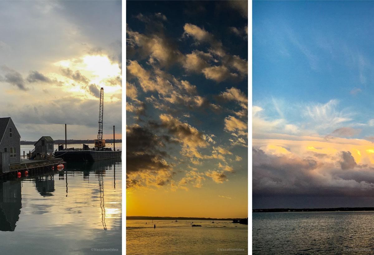
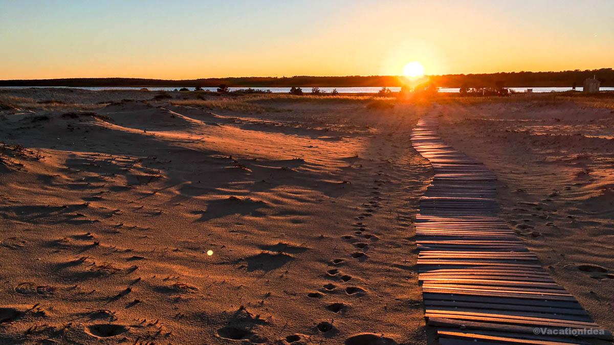
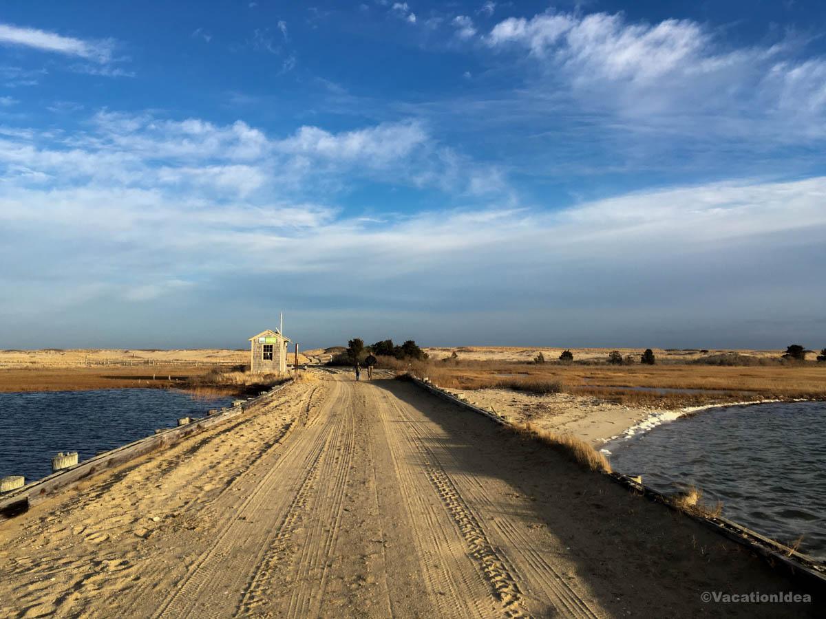
Martha’s Vineyard
We've been to Martha’s Vineyard (Google Maps pin) more times than we can count due to my in-laws living there but visiting the island in November was one of my favorite times! Yes, the wind got quite cold on some days, but when the sun came out it was absolutely perfect.
What I loved most that the sunlight was softer and sort of golden so we took heaps of great photos that you see here. We dressed warmly and spent lots of time visiting lighthouses and beaches. In the evening, we ate tons of fresh seafood. A few restaurants were closed for the season, but we didn't need reservations at the ones that were open.
- Average temperature in November: 38°F – 54°F (3°C – 12°C)
What I loved best:
For me, Martha’s Vineyard is one of the best places to visit in November because it's scenic and unique!
Evenings were my personal highlight, perfect for watching the sunsets.

Calgary, Canada
This city struck me as one of the prettiest destinations on my road trip.
November was too late for fall foliage but this cool city had so much to offer. I loved learning about the city’s roots at Heritage Park, walking through historic neighborhoods, and exploring the markets in the fall.
Plus, a scenic one-hour drive west along the Trans-Canada Highway brings you to Banff National Park.
My favorite? This city is a paradise for foodies with restaurants like River Café, Ten Foot Henry, JOEY Eau Claire, Minas Brazilian Steakhouse and Native Tongues Taqueria.
A downside? November weather can be unpredictable and I recommend packing warm clothes.

Hungary and Casati Budapest Hotel
Want a solid European recommendation for November? One of the coolest places that we discovered was this Hungarian capital. While not yet in full Christmas swing of things you find in December, November instead means super affordable prices and few tourists.
Need a romantic place to stay? Book a room at Casati Budapest Hotel - you won't regret it. You'll find this adults-only boutique hotel in the historic Terézváros district in the Hungarian capital. From Budapest Airport, was just 40 minutes to this beautifully restored 18th-century townhouse. With only 25 rooms, the hotel is still a local secret.
Inside, you'll find contemporary art, old-world elegance, and each floor with its own artistic theme. Our romantic room for five easy days was comfortable. As far as common areas go, one of my favorite parts was the central courtyard, especially the glowing lanterns at night.
What I loved best:
For me, Budapest was one of my favorite November places. My personal highlight was a delicious slow breakfast which gave us all the fuel we needed to enjoy the city!