1. Stroll Through a Hidden Oasis at Amir’s Garden

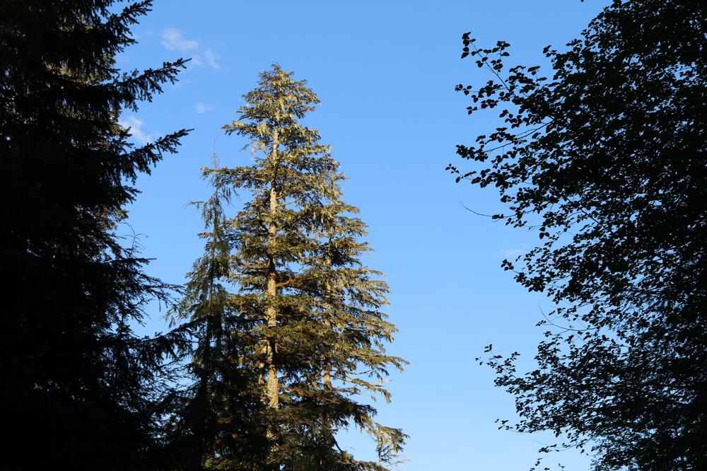
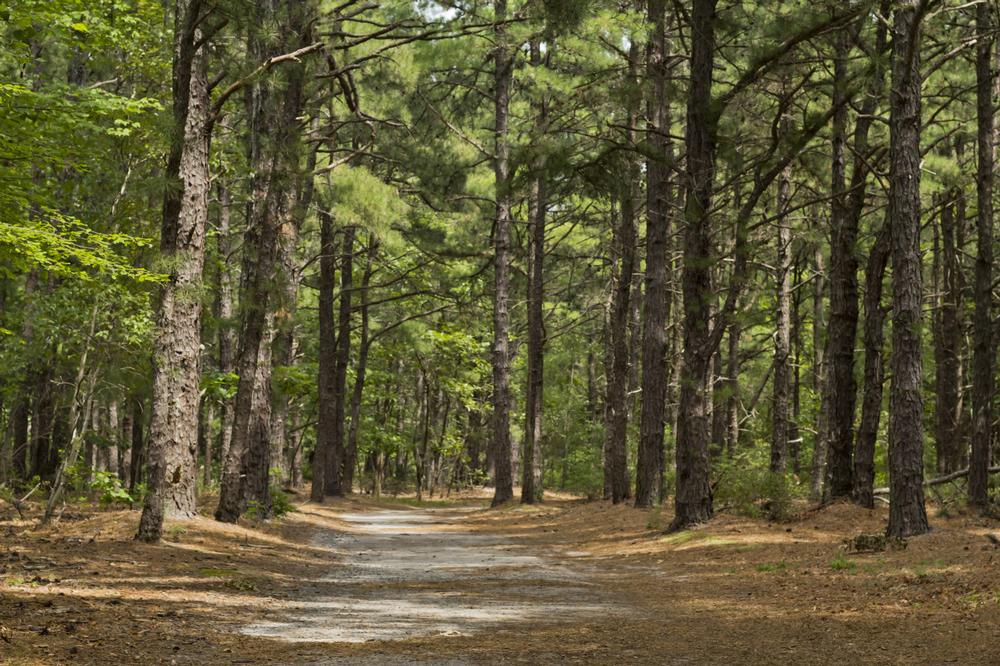
Amir's Garden is a 5-acre piece of land in Griffith Park, a lush and unexpectedly forested ridge in the middle of otherwise dry Southern California. This peaceful, shaded oasis is popular with hikers and horseback riders. It was created by Amir Dialameh, an Iranian immigrant and passionate hiker who transformed the area, which had been devastated by the 1970 fire, by spending 12 years planting 60 species of trees and cutting trails into the ridge.
The Amir's Garden trail today starts with a short track up from the Mineral Wells area. It starts to climb right away up to the water tank, after which it flattens out and the view opens up to the San Gabriel Mountains, Burbank, and Glendale. Map
2. If You Seek Stunning City Views, Hike Mount Hollywood

One of the easiest ways to climb to the peak of Mount Hollywood is a 3.8-mile loop trail through Griffith Park.
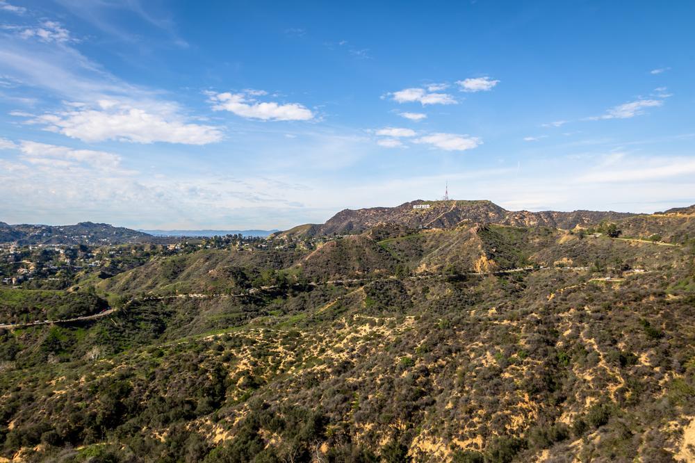
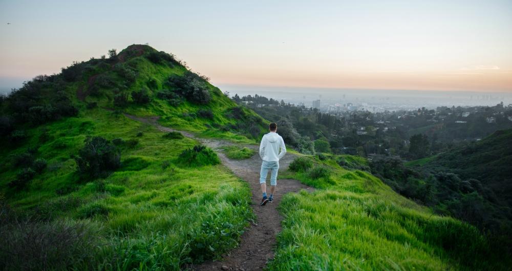
The hike starts near the Greek Theatre on Vermont Avenue and gains 807 feet by the time you reach the summit, promising stretches of sharp incline and a good workout that can be completed in about an hour and a half. The first steep part is a wide fire road, which eventually flattens out and turns into a more narrow, rugged firebreak. Once you are on top, the views of the entire L.A. basin and the Griffith Observatory will make it all worthwhile. Watch out for rattlesnakes. Map
3. Climb Quiet Trails and Scenic Slopes at Mount Akawie

Mount Akawie is a not very tall and not very popular mountain deep in the central San Gabriel Mountains, which hikers usually combine with going up the more interesting Winston Peak just a mile down the road. The trail up the mountain is only 0.7 miles long with an elevation gain of 400 feet, going up an old Jeep road to the flat, broad summit, where you can take a break and enjoy the view of the Waterman Mountains. One good thing about this hike is that you will probably have the trail to yourself and can enjoy a bit of solitude, rare on most trails in the Los Angeles area. Map
4. Challenge Yourself on the Rugged Paths of Kratka Ridge

Kratka Ridge is a short 1.5-mile-long fairly steep hike in the San Gabriel High Country with an elevation gain of 640 feet. The trail starts a few miles from Islip Saddle and the trailheads for Mount Akawie and Winston Peak. After a few sharp switchbacks you will pass through the abandoned Vista Picnic Area with some dusty picnic tables, and then an abandoned ski resort, ending at the top with spectacular views of the valley of the San Gabriel Wilderness. It is a steady climb most of the way on a narrow single track until you reach the top of the ridge, where you will see the remnants of an old ski lift. Map
5. Chase Waterfall Adventures at Santa Ynez Falls

While off the beaten path in a corner of Topanga State Park, especially if you are coming through the main entrance at Trippet Ranch, Santa Ynez Falls is lovely and worth a visit. The trail is only 2.4 miles long and meanders easily through a densely forested and shaded canyon, along the streams you will have to cross a few times until you reach a poorly maintained, fairly rugged trail to Santa Ynez Falls. Just before you get to the falls you will have to scramble a bit and climb over a few rocks but the rest of the way is easy for anyone. The trail starts at the end of a remote street in the Pacific Palisades. Map
Plan Your Trip


