© Mike Fouque/stock.adobe.com
Review & FAQ:
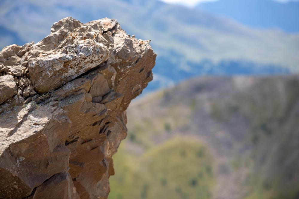
Toll Mountain, along with Emory Peak and Casa Grande, form the eastern edge of the Chisos Basin. It stands tall at 7,415 feet, making it the third highest point in the Chisos Mountains of Big Bend National Park. There are no maintained trails on Toll Mountain, which means hikers will have to bushwhack their ways to the top. The best route is to take Pinnacles trailhead near the visitor center up to the Toll Mountain campsite near the Emory Peak trailhead. From there, hikers can bushwhack straight north to the summit. Altogether, it’s about 8 miles from the visitor center to the summit, with an elevation gain of 2,000 feet.
Rating: ⭐⭐⭐⭐⭐
Guadalupe Peak
Amon-Carter Peak
Anthonys Nose
Bush Mountain
Capitol Mesa
Cerro Castellan
Chinati Peak
Eagle Peak
El Capitan
Fresno Peak
Goat Mountain
Hunter Peak
Indian Peak
Lost Peak
Mescalero Mountain
Mitre Peak
Mount Bonnell
Mount Livermore
Pine Peak
South Franklin Mountain
Sugarloaf Mountain
Toll Mountain
Bartlett Peak
Shumard Peak
Mount Pratt

