

Ready to lace up your boots and breathe in that mountain air? Discover epic views and fresh adventures on these unforgettable Hiking Trails in Colorado—perfect for every skill level!
Highlights:
Unique Hiking Trails in Colorado:
1. Take in Jaw-Dropping Views of the Divide from Panorama Point
Located just outside downtown Denver, Corwina Park is the closest spot for Denver residents to enjoy the Rocky Mountain wilderness without having to travel far. Hiking up the Panorama Point Trail will take you to Panorama Point and the spectacular views of the Continental Divide and Mount Evans. The scenic 3.3-mile round trip trail runs along cool Bear Creek through the shade of old trees and, depending on season, is surrounded by wildflowers. It is moderately steep with a short steeper climb, with an elevation gain of 763 feet. The trail is pleasant for the whole family, dog included.
2. If You Want Remote Beauty with Spiritual Vibes, Summit Chief Mountain
Chief Mountain is located not far from the town of Evergreen, Colorado, off Squaw Pass Road. As you drive farther up the road, you will come to Echo Lake Mountain Park, known as the gateway to the Mount Evans Scenic Byway, America’s highest paved road. Chief Mountain is 11,710 feet tall, with a summit just below the tree line. The 3.5-mile round trip hike up the mountain is fairly easy, with an elevation gain of 1,000 feet. You will start to climb as soon as you reach the trail, going up steadily with a few small switchbacks along the way. The higher you go, the more rocky the path gets, with a few boulders you will have to scramble over. You will be surrounded by tall, old trees that make the hike pleasant, and the views of the surrounding much higher mountains will make you feel like you are really on top of the world.
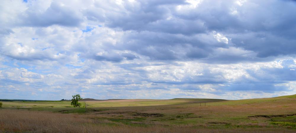
3. Hike Rolling Hills and Wildflowers on Green Mountain
Green Mountain is a 2,000-feet high mesa on the eastern side of the Rocky Mountains’ (video) Front Range. You can find the trailhead near the town of Morrison just off Trail Ridge Road. The 4-mile round trip trail starts climbing right away through a beautiful forest of lodgepole pines, which obstruct the view but provide pleasant shade. The elevation gain is only 635 feet, but you will gain most of it during the first mile of hiking, so take breaks and enjoy the wildflowers along the path. As you come out of the lush, dense forest, the view of the large meadow surrounded by high snow-topped mountain peaks all around will open in front of you, taking your breath away.
4. Catch Sweeping Vistas and Solitude at Marker Hill
Marker Hill is a 2,755-meter-high mountain about 77 miles from Denver in the Arapaho National Forest and Indian Peaks Wilderness. The trailhead is located in the Devil’s Thumb Ranch Resort and Spa. The trail is well maintained, although it is used by horseback riders, making it more eroded in parts and crowded in some spots. The views of Devil’s Thumb are fantastic as you get off the Creekside Trail and head north. Once you reach the Marker Hill Trail, you will go west through lovely meadows full of flowers. The trail starts a slow, steady climb at around 1.3 miles until you reach the Marker Hill Vista Point. The views in every direction are spectacular.
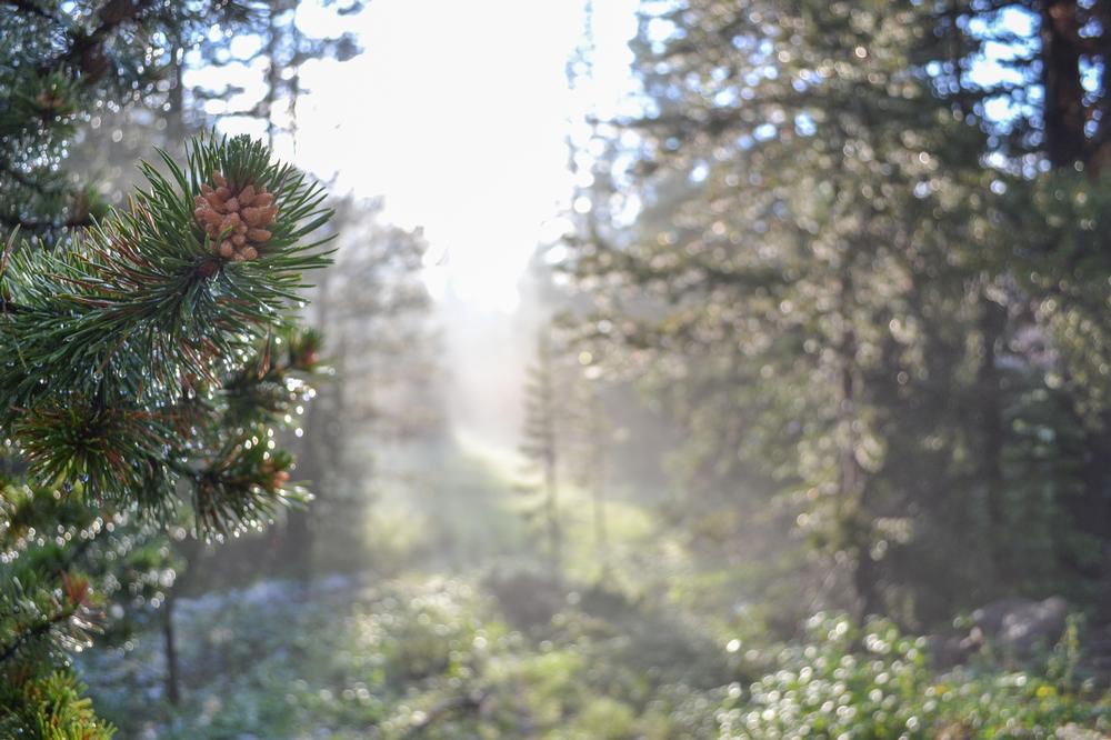
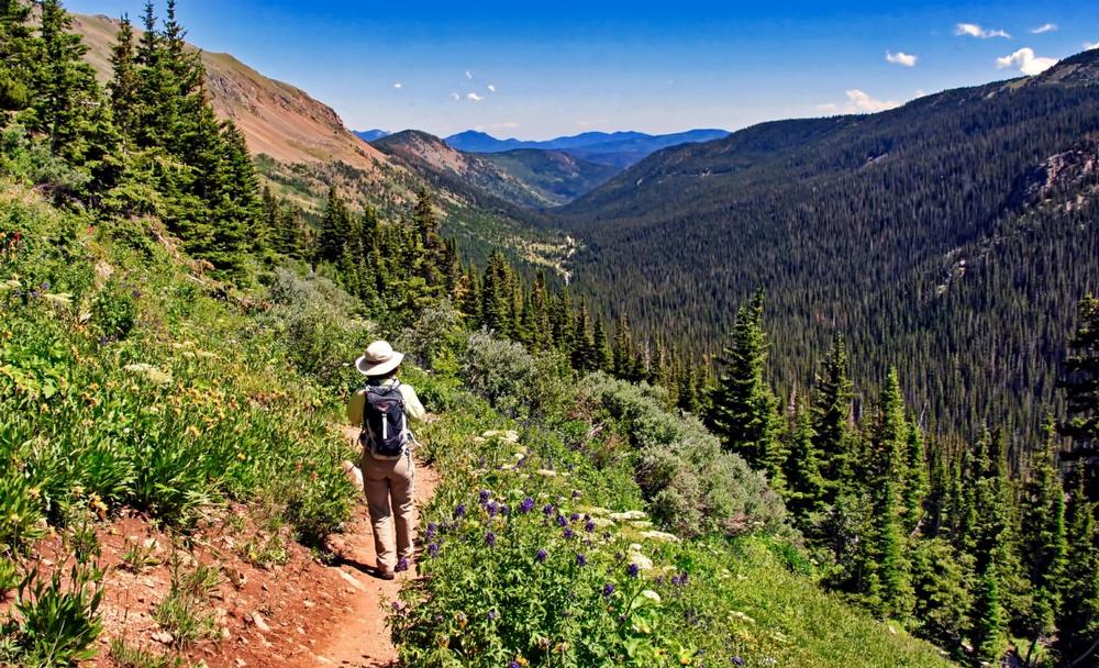
5. Trek Through Forest and Lakeside Serenity on Lost Lake Trail

Lost Lake is not far from the town of Nederland, just outside the Indian Peak Wilderness Area. The Lost Lake Trail trailhead is located at about 9,000 feet and from there you will gain 903 feet in elevation, so expect to climb. The trail heads west through the beautiful aspen forest, making it pleasant and cool in spite of the steady climb. Once you come out of the trees, you will catch a beautiful view of the surrounding mountains and the valley below. As you keep climbing, you will hear Middle Boulder Creek as it rushes to the left of the trail. The trail heads back into the forest, and will stay shady all the way to the lake. There are eight campsites around the lake, which is full of fish.
Romantic Hiking Trails in Colorado:
6. If You Like Loops with a Kick, Try Mayhem Gulch Trail
Located just an hour’s drive from Denver, in Centennial Cone Park, the Mayhem Gulch Trail is a popular day hike in the Front Range. It is a 4.7-mile loop trail that offers fantastic views of Clear Creek Canyon. The elevation gain is 900 feet, but it offers solitude, and the view of the waterfall on the northeast side of the park makes the effort worthwhile. As you leave the canyon, the trail heads to a large meadow, where you can spot herds of mule deer and elk.
7. Climb to an Iconic Peak with Panoramas at Horsetooth Rock
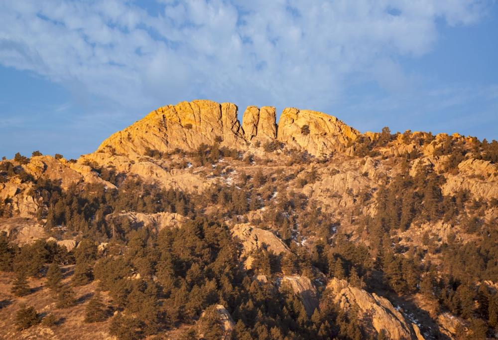
At 7,256 feet, Horsetooth Rock is the highest peak on Horsetooth Mountain and the Horsetooth Mountain Open Space Park near Fort Collins, Colorado. The 5-mile return hike will gain you 1,440 feet in elevation, so it is considered strenuous. It has a series of switchbacks and stairs but it is well maintained. The views from the top are well worth the effort.
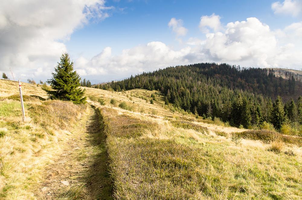
8. Tackle Alpine Beauty and Wildflowers on Herman Gulch Trail
The Herman Gulch Trail can be found just off I-70 near Bakerville, Colorado, in the Arapaho National Forest. The 6.5-mile trail will take you through beautiful rolling tundra to Herman Lake at the entrance to a broad, open valley. The Herman Gulch Trail is part of the Continental Divide Trail and follows Herman Gulch all the way to the tree line before it turns to the lake. You might be lucky enough to spot mountain goats or bighorn sheep along the way.
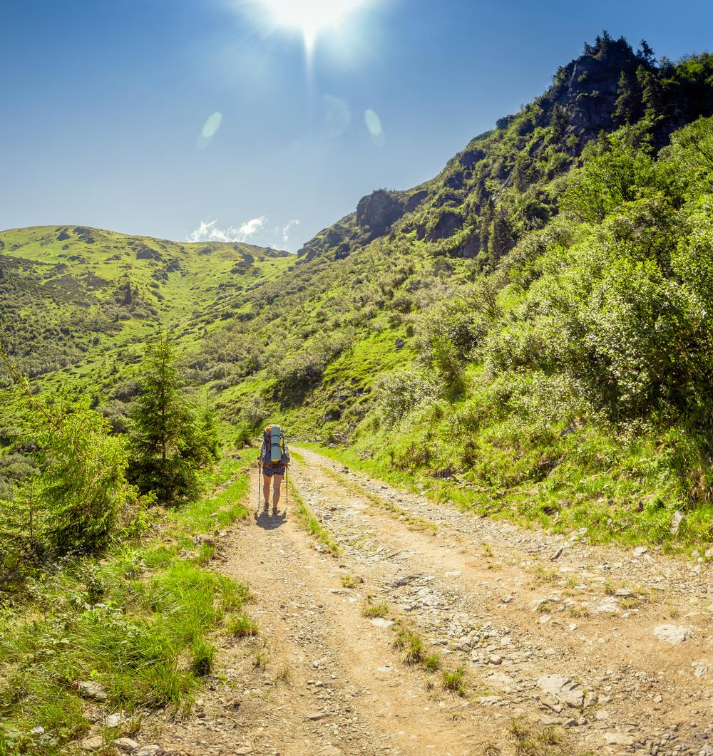
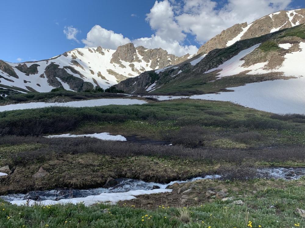
9. Ascend Through High Country Wonder on Arapaho Pass
Starting at the Fourth of July Trailhead, the Arapaho Pass Trail is a beautiful 9.3-mile round trip hike that will take you up through a dense conifer forest before opening up to a green meadow full of wildflowers. It is a steep trail that will gain you 1,781 feet in elevation and you will have to pass a few creeks, but the view of Caribou Lake below and Mount Neva above will take your breath away.
10. If You’re Up for a Challenge, Conquer the Steep Manitou Incline
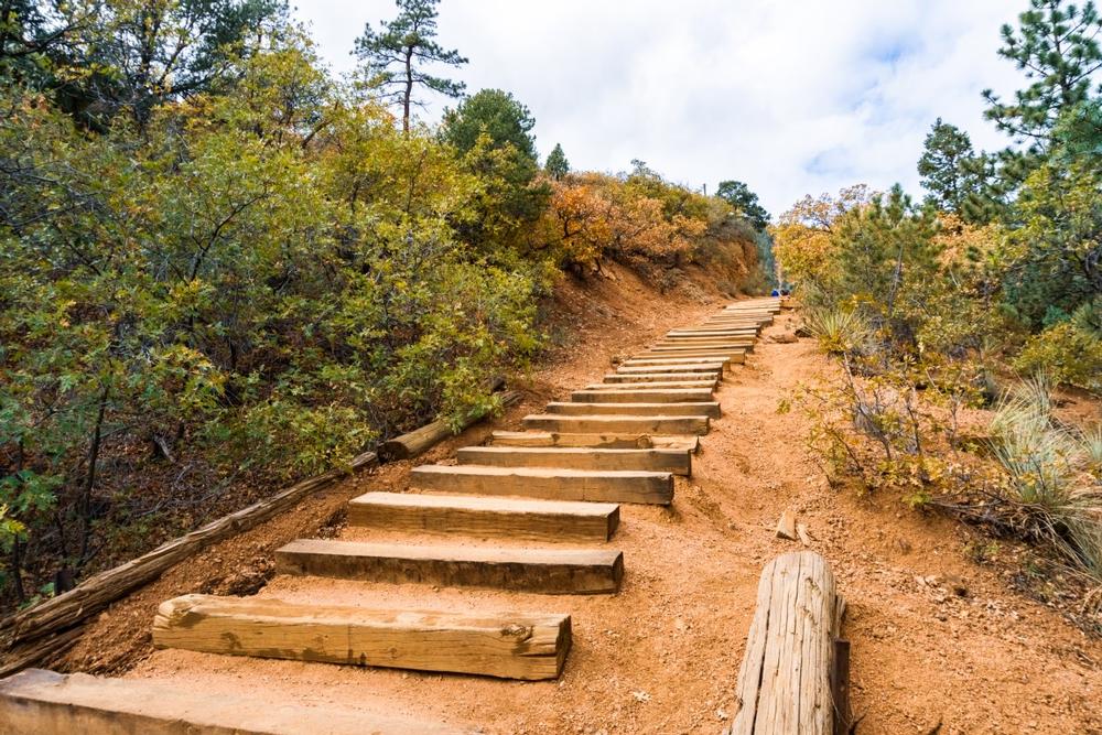
The Manitou Incline in the Colorado Springs area is considered the most challenging and extreme trail in the country. It will gain you almost 2,000 feet in elevation during a less than 1 mile hike. The trail consists of former railroad ties that now form a unique staircase that provides an excellent workout and a challenging hike. It is not for those not in an excellent condition.
Frequently Asked Questions:
- Question: Why is Colorado considered a hikers' paradise?
- Answer: Colorado is a hikers' paradise. Whether you are trying to bag the highest peaks in North America, enjoy solitude in the lush lodgepole pine and aspen forests, or take in open vistas of wildflower-covered meadows and waterfalls tumbling down steep cliffs, Colorado has a hike for you.
- Question: What types of hikes are available in Colorado?
- Answer: There are day hikes you can do over the weekend, hikes you can take kids on, and hikes that will challenge even the fittest hikers.
- Question: What will hikers experience in Colorado?
- Answer: Wherever you go, the views will leave you breathless and in awe of the majesty of nature.
Plan Your Trip