- Please support our journalism through affiliate links. Affiliate Disclosure
- Written by our human editors, structured with the help of AI.
Review & FAQ:
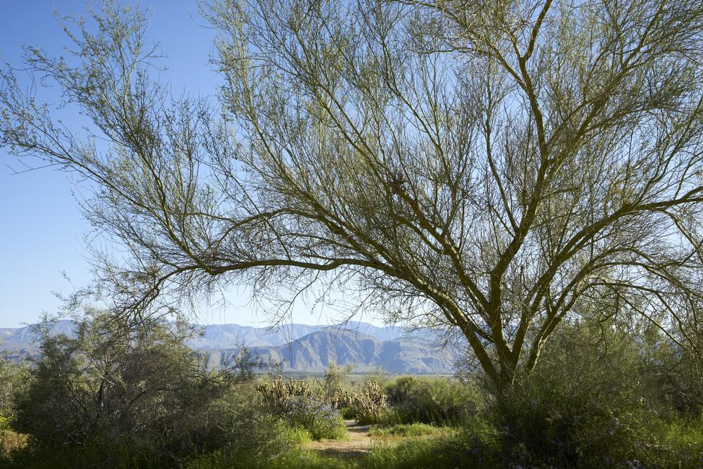
The Santa Rosa Mountains are a 30-mile mountain range that spans the western end of the Coachella Valley, extending through the communities of San Diego, Riverside, and Borrego Springs. The range is connected to the San Jacinto Mountains along its northern end at its junction with California State Route 74. Its highest peak, Toro Peak, reaches a maximum elevation of 8.716 feet, located approximately 20 miles from the city border of Palm Springs within the Upper Coyote Canyon portion of Anza-Borrego Desert State Park. The mountains are located within the Colorado Desert at their lower elevations, with chaparral and woodland habitats populating its higher-elevation regions. Much of their northern area is protected as part of the Santa Rosa and San Jacinto Mountains National Monument, administered by the United States Forest Service, which offers visitor centers and trailheads throughout the range.

Rating: ⭐⭐⭐⭐⭐
Plan Your Trip
Get Ready to Go!
- Search flights and stays nearby.
- Book your tour or local activity.
- Book your car rental.
Need some more help?
Go to travel reservations.

