- Please support our journalism through affiliate links. Affiliate Disclosure
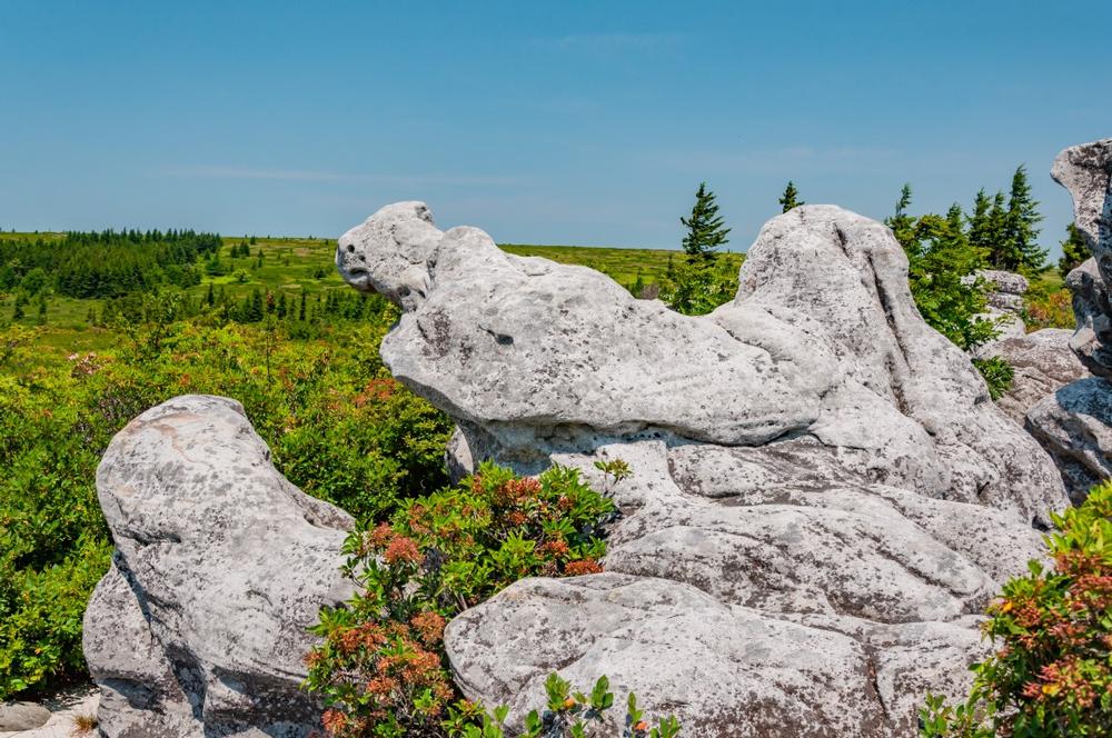
Forming part of the Allegheny Mountains, Laurel Mountain (or Laurel Hill) is a meandering 32-mile ridge that runs between the Cheat River and the Tygart River Valley in the Ridge-and-Valley region of West Virginia. Outdoor enthusiasts who prefer solitude will be pleased to know that the Laurel Fork North and South Wilderness areas are both relatively lightly trafficked and are perfectly suited to backpacking and backcountry camping. The area offers over 19 miles of trails to explore and you can enjoy beautiful scenery, swimming holes, fishing, and bird-watching along the route. If you happen to be a West Virginia Peak Bagger, you can add the Elliot Benchmark peak (3,157 feet) to your list of conquests.
Plan Your Trip
Get Ready to Go!
- Search flights and stays nearby.
- Book your tour or local activity.
- Book your car rental.
Need some more help?
Read our Reservations & Travel Planning Tips guide.


