

I live in Austin and it takes a while to reach Texas mountains from here. But the drive is worth it. Texas mountains are rugged, remote, and surprisingly dramatic. I enjoy discovering a new ancient canyon, sleeping under the stars and roughing it and cooking my own meals.
If this is your first trip to the mountains of Texas, consider joining a tour. The first three are very challenging and you should only consider it if you are an expert. The last one you can do from the comfort of your car. But, still, be sure to prepare well because there's no cell service!
Best Mountains in Texas:
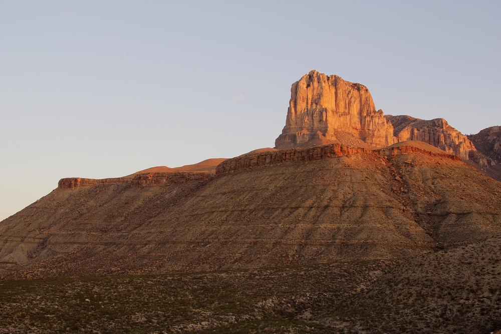
Guadalupe Peak - 2 hours from El Paso - Tackle the highest point in the Lone Star State for unbeatable desert vistas
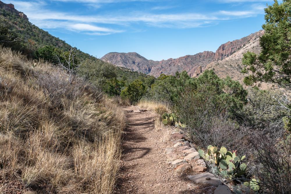
Climb for the Views at Amon-Carter Peak - 1.5 hours from Terlingua - Less traveled, highly rewarding. This was a challenging climb
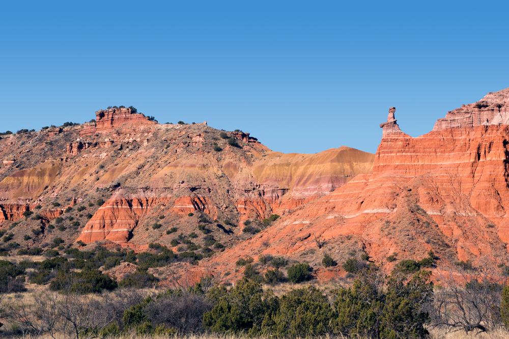
Capitol Mesa - 30 minutes from Amarillo, TX - Vast and untamed, this high desert mesa invites bold legs and open minds
Chinati Peak - 45 minutes from Marfa, TX - We went on this remote drive in the Chinati Mountains. I felt like we were no longer in the U.S.
In Summary...
(and if you want to revisit my photo journey)