
Located in Yancey County in the western part of North Carolina, Mount Mitchell is the highest peak in the Appalachian Mountains—and the tallest mountain in the United States east of the Mississippi River. This article walks you through its elevation, unique traits, and how it compares to other peaks in the region.
Table of Contents
- Get to Know Mount Mitchell
- Elevation Basics
- Elevation Must-Know Facts
- Climate at High Altitudes
- North Carolina's Elevation Landscape
Get to Know Mount Mitchell
Mount Mitchell sits in the Black Mountain range within Mount Mitchell State Park, surrounded by the vast Pisgah National Forest. It was originally called "Black Dome" due to its shape but was renamed after Elisha Mitchell, the UNC professor who confirmed its status as the highest peak in the East—tragically dying on its slopes during his research.
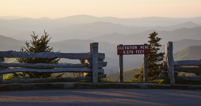
Elevation Basics
Standing at 6,684 feet (2,037 m), Mount Mitchell dominates the Eastern U.S. A scenic drive along the Blue Ridge Parkway takes you close to the top, and a short walk leads to the modern observation deck for 360-degree views.
The original 40-foot observation tower was removed years ago, but a commemorative plaque and the tomb of Elisha Mitchell mark the summit.
Elevation Must-Know Facts
- Elevation: 6,684 feet (2,037 m) above sea level.
- Prominence: 6,089 feet (1,856 m) – meaning it stands out distinctly from nearby terrain.
- Isolation: 1,189 miles (1,914 km) – the fourth most isolated peak in North America.
Other key peaks in the Black Mountains include:
| Mountain | Elevation (ft) | Elevation (m) |
|---|---|---|
| Mount Mitchell | 6,684 | 2,037 |
| Mount Craig | 6,647 | 2,026 |
| Balsam Cone | 6,611 | 2,015 |
| Big Tom | 6,581 | 2,006 |
| Celo Knob | 6,327 | 1,928 |
| The Pinnacle | 5,665 | 1,727 |
Climate at High Altitudes
Mount Mitchell’s elevation heavily influences its climate:
- Temperatures often drop below freezing from November through April.
- Annual snowfall averages 91 inches.
- Annual rainfall exceeds 74 inches, with frequent storms.
The thin, cold air at high elevation creates a dramatically different environment compared to lower elevations nearby.
North Carolina's Elevation Landscape
Despite Mount Mitchell’s towering height, North Carolina’s average elevation is just 700 feet (210 m). Here’s how it compares to other elevations across the state:
- Beech Mountain: 5,506 ft (1,678 m) – highest town east of the Mississippi River
- Asheville: 2,134 ft (650 m)
- Charlotte: 751 ft (229 m)
- Raleigh: 315 ft (96 m)
- Greensboro: 897 ft (272 m)
- Durham: 404 ft (123 m)
Mount Mitchell stands over a mile above sea level and far above any town or city in the region, making it a must-visit for elevation and nature lovers alike.
Plan Your Trip