

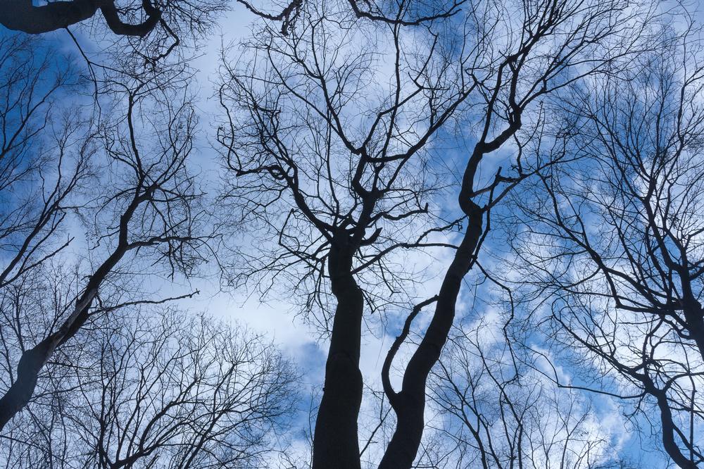
Dreaming of rugged peaks and untamed wilderness? These awe-inspiring Wyoming mountains offer breathtaking landscapes, epic trails, and unforgettable encounters with nature.
If you are in a hurry, I recommend:
Unique Wyoming Mountains:
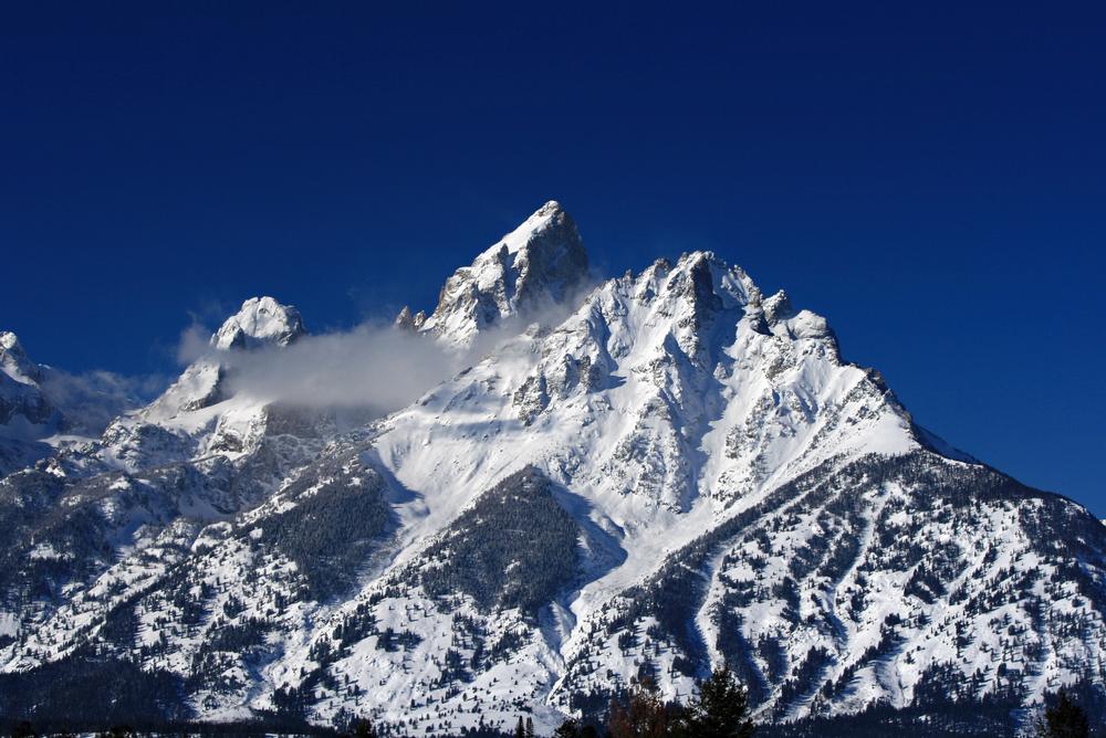
1. Gannett Peak
Location:
Wind River Range, WYHighlights:
If you’re looking to bag Wyoming’s highest peak, this is the real deal. Gannett Peak towers at 13,804 feet, just edging out the Grand Teton, and offers one of the most remote, challenging climbs in the Lower 48.Recommended For:
Experienced mountaineers, alpine adventurers, and backcountry trekkers looking for a serious summit challenge with glacier crossings and rugged terrain.What I Love: ♥
The quiet remoteness of the Wind River Range, the raw beauty of glaciated alpine scenery, and the pride of conquering Wyoming’s true tallest peak.- Summit the tallest point in Wyoming—13,804 feet high with a commanding 5,000-foot prominence.
- Hike into the heart of the Wind River Range via a strenuous 40-mile round-trip route, typically requiring 3–5 days.
- Climb with caution—this is not a beginner-friendly ascent and includes glacier travel and technical terrain.
- Compare to the Grand Teton—Gannett is 34 feet taller and far more remote, making it a quieter and more formidable adventure.
- Prepare thoroughly for a high-altitude, self-supported expedition—route-finding and weather challenges are real here.
Address:
Gannett Peak, Wind River Range, WY2. Cedar Mountain
Location:
Cody, WYHighlights:
Looking for sweeping views without the need for an extreme summit? Cedar Mountain, also known as Spirit Mountain, rises just west of Cody and offers dramatic vistas over Shoshone Canyon and Buffalo Bill Reservoir.Recommended For:
Casual hikers, photographers, geology buffs, and those looking to explore quieter corners of the Absaroka Range.What I Love: ♥
Its striking prominence and accessibility, the unique underground Spirit Mountain Cave Complex, and the overlook that stretches across Cody and beyond.- Stand at 7,890 feet—while not the tallest peak, Cedar Mountain boasts nearly 2,500 feet of prominence and isolation for spectacular views.
- See Shoshone Canyon, Buffalo Bill Reservoir, and the town of Cody all from one panoramic summit perch.
- Discover the Spirit Mountain Cave Complex, a hidden underground wonder beneath the mountain (accessible only with a permit).
- Enjoy easy access from town—Cedar Mountain sits just west of Cody in the Absaroka Range.
- Capture stunning sunrise or sunset shots over northwestern Wyoming’s rugged landscape.
Address:
Cedar Mountain, Cody, WY3. Hoyt Peak
Location:
Yellowstone National Park, WYHighlights:
If you’re looking for a rugged half-day adventure inside Yellowstone with summit rewards and the option to bag a second peak, this one’s for you. Hoyt Peak is a lesser-known Class 2–3 mountain that offers panoramic views and a dynamic ridgeline route.Recommended For:
Intermediate to advanced hikers, peak baggers, and those seeking a quieter alternative to Yellowstone’s busier trails.What I Love: ♥
The bowl-like basin, the exposed ridge walk, the optional rock scramble near the summit, and the ability to keep the adventure going with a second peak just beyond.- Begin at the Avalanche Peak Trailhead—your route will take you through forest, into an open basin, and along a rugged ridge.
- Summit Hoyt Peak in roughly half a day—perfect for a challenging but doable hike that doesn’t eat up your whole itinerary.
- Navigate a prominent rock formation near the top—scramble over it for fun or take the trail around for a more direct route.
- Extend your hike by continuing along the saddle to nearby Avalanche Peak for a two-summit kind of day.
- Complete the full out-and-back route in about 6.5 miles with excellent views the entire way.
Address:
Hoyt Peak, Yellowstone National Park, WY 821904. Trout Peak
Location:
Absaroka Range, near Cody, WYHighlights:
If you're looking to summit the highest peak in the Absarokas, this one's a true backcountry challenge. Trout Peak stands tall at 12,244 feet and delivers wide-open wilderness, incredible views, and the kind of solitude only a two-day trek can buy.Recommended For:
Seasoned hikers, backpackers, solitude seekers, and high-elevation adventurers with solid backcountry skills.What I Love: ♥
The remoteness, the sweeping summit views of Wyoming’s peaks and Buffalo Bill Reservoir, and the sense of accomplishment after a demanding 24-mile round trip.- Summit the highest peak in the Absaroka Range at 12,244 feet—with incredible vistas in every direction.
- Hike 12 miles each way—this is typically a two-day trip, but can be tackled in a long day by strong hikers.
- Spot nearby summits from the top, including Rattlesnake Mountain, Robber’s Roost, and Pat O’Hara Mountain.
- Prepare for true seclusion—this trail is remote, lightly traveled, and offers little in the way of crowds.
- Be Bear Aware—the area is known for grizzly activity, so bring bear spray and follow wilderness safety guidelines.
Address:
Trout Peak, Absaroka Range, WYRomantic Wyoming Mountains:
5. Wapiti Ridge
Location:
Absaroka Range, WYHighlights:
If you're craving true wilderness and a peak you might have entirely to yourself, Wapiti Ridge is your kind of place. This remote, rugged stretch of mountains in the Absaroka Range offers stunning solitude and big-mountain energy without the crowds.Recommended For:
Experienced backpackers, off-trail explorers, and anyone who thrives in remote, high-country terrain with a wild edge.What I Love: ♥
The sense of isolation, the long connected ridgeline, and the summit views that stretch over an untouched expanse of mountains and valleys as far as the eye can see.- Explore over 30 miles of rugged, interconnected terrain—the ridge is a backcountry playground for ambitious hikers and scramblers.
- Climb rarely visited peaks and trace remote ridgelines where human presence is minimal and nature rules the day.
- Be cautious—loose rock, unstable sections, and wildlife like grizzlies, mountain lions, and wolves make this a true wilderness route.
- Choose from multiple trail approaches to reach the ridge, with options depending on your experience, time, and comfort with off-trail travel.
- Take in panoramic views of the Absarokas—an endless sweep of wild ridges, jagged peaks, and raw natural beauty.
Address:
Wapiti Ridge, Absaroka Range, WY6. Mount Fryxell
Location:
Grand Teton National Park, WYHighlights:
If you’re craving jaw-dropping summit views in the Tetons without roping up, this might be the park’s best-kept secret. Mount Fryxell—an unofficially named peak—is quietly tucked away and offers some of the best non-technical summit rewards in the entire park.Recommended For:
Strong hikers, backcountry adventurers, and anyone who wants a big summit day without climbing ropes or a permit for technical routes.What I Love: ♥
Massive views from a non-technical summit, the sense of discovery in reaching an unmarked peak, and the freedom to make the route as mellow or intense as you like.- Hike 16 to 20 miles round-trip—this is a full-day adventure that requires endurance and backcountry know-how.
- Climb without technical gear—choose your level of challenge, from Class 2 routes to exposed Class 5 scrambles.
- Stand atop a hidden gem named for the park’s first ranger, Fryxell, with panoramic views few visitors ever see.
- Explore one of the most under-the-radar high points in Grand Teton National Park.
- Soak in top-tier summit scenery without the crowds or climbing permits required on better-known peaks.
Address:
Mount Fryxell, Grand Teton National Park, WY7. Rattlesnake Mountain
Location:
Cody, WYHighlights:
If you're looking for a dramatic climb with wide-open views and a wild edge, Rattlesnake Mountain delivers. Sitting just outside Cody, this rugged peak rises sharply above Shoshone Canyon and offers a challenging but rewarding hike to the summit.Recommended For:
Experienced hikers, climbers, geology lovers, and those seeking a backcountry challenge right near town.What I Love: ♥
The 3,000-foot elevation gain, the jaw-dropping canyon views, and the striking rock formations like The Palisades that make this mountain as scenic as it is intense.- Hike to the summit via Monument Hill Trail—about 7 miles one way with substantial elevation gain.
- View the sweeping Shoshone Canyon from Rattlesnake’s high ridges and southern slopes.
- Spot The Palisades, an impressive vertical rock wall on the northwest face that’s popular with climbers and photographers.
- Explore the rugged northern edge of the canyon on a less-traveled route perfect for solitude and stunning vistas.
- Be aware of local wildlife, including rattlesnakes and other predators—stay alert and hike prepared.
Address:
Rattlesnake Mountain, Cody, WY8. Buck Mountain
Location:
Grand Teton National Park, WYHighlights:
Looking for a summit that’s big on views but lighter on crowds? Buck Mountain is the tallest peak south of Garnet Canyon in Grand Teton National Park, rising to 11,938 feet and offering panoramic views of the northern Tetons without the technical intensity of some of its neighbors.Recommended For:
Advanced hikers, scramblers, and climbers seeking a quieter alternative to Grand Teton with equally impressive alpine scenery.What I Love: ♥
The Class 3 summit routes, the solitude compared to more famous peaks, and the stunning perspective it offers of the park’s most iconic ridgeline.- Climb Grand Teton’s quieter southern neighbor—at 11,938 feet, Buck Mountain is a rewarding high-elevation goal.
- Choose your route: the east and northeast faces offer Class 3 hikes, while the north and west faces require technical climbing.
- Challenge yourself on the west face, which includes routes rated up to 5.8 for experienced climbers.
- Enjoy peaceful surroundings—Buck sees fewer visitors, making it a serene and spacious summit experience.
- Take in breathtaking views of Garnet Canyon and the central Teton range from a unique southern vantage point.
Address:
Buck Mountain, Grand Teton National Park, WYFamily-friendly Wyoming Mountains:
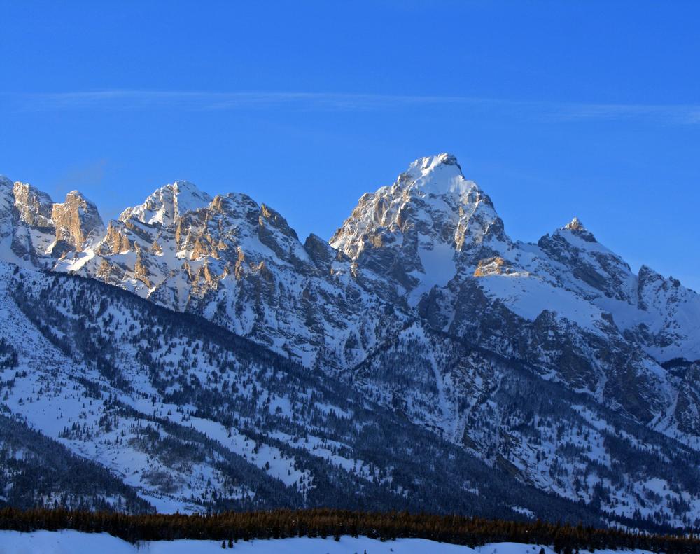
9. Mount Owen
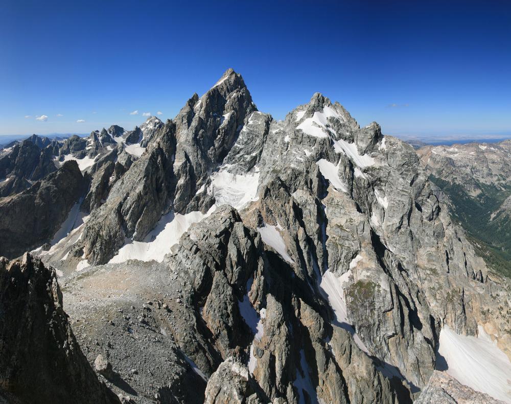
Location:
Grand Teton National Park, WYHighlights:
If you're after technical climbing, jaw-dropping spires, and serious bragging rights, Mount Owen is calling. As the second highest peak in the Tetons, its rugged beauty and full-on climbing routes make it a magnet for elite mountaineers.Recommended For:
Experienced climbers, alpine route chasers, and those seeking a photogenic summit with serious vertical exposure.What I Love: ♥
The sheer rock faces, technical routes ranging from 5.1 to 5.10, and that moment at the summit when you’re surrounded by the park’s most iconic crags and ridges.- Climb Grand Teton’s second tallest peak—Mount Owen stands tall and proud among the Tetons at 12,928 feet.
- Challenge yourself—every approach to the summit involves climbing, with routes rated from 5.1 to 5.10.
- Ascend during the ideal season of June to September—snow and icy rock make any other time far more dangerous.
- Experience some of the most dramatic rocky scenery in the Tetons, with jagged spires and sheer drops all around.
- Prepare for a full alpine expedition—Mount Owen is not for beginners and requires serious gear, planning, and skill.
Address:
Mount Owen, Grand Teton National Park, WY10. Mount Crosby
Location:
Washakie Wilderness, WYHighlights:
Looking for solitude and sweeping views deep in the backcountry? Mount Crosby is a remote gem in the heart of the Washakie Wilderness—one of the wildest and most untouched regions in the lower 48.Recommended For:
Wilderness lovers, experienced hikers, and anyone seeking solitude, scenic tundra, and wildlife in the wild heart of Wyoming.What I Love: ♥
The accessibility of a Class 1 route with big backcountry energy, sweeping alpine views from the summit, and the sense of awe that only comes from being in one of the Lower 48’s most remote landscapes.- Hike a moderate but scenic 4-mile route (one way) gaining about 3,300 feet in elevation through tundra and forest.
- Summit Mount Crosby for expansive, panoramic views across the Washakie Wilderness and surrounding peaks.
- Traverse a trail rated Class 1—walkable, with sloping switchbacks and a few steeper climbs for a satisfying challenge.
- Spot wildlife in a region home to wolves, grizzly bears, and elk—this is true wilderness, so come prepared.
- Experience one of the most remote hiking destinations in the continental U.S., far from crowds and full of raw natural beauty.
Address:
Mount Crosby, Washakie Wilderness, WY📔 I get asked this a lot so I decided to include it:
-
What is Wyoming known for?
- Although Wyoming is well known for its prairie land and sweeping plains, the western half of the state is densely populated with mountains.
-
What are some of the major mountain ranges in Wyoming?
- Wyoming is home to famous mountain ranges such as the Grand Tetons, the Wind River Range, and the Bighorn Mountain Range.
-
Are there mountains suitable for different levels of hikers?
- Some mountains, like the Missouri Buttes, require only an afternoon and a sturdy pair of shoes to conquer.
- Others, like Gannett Peak, take days or even a week to complete and require a full range of climbing and trekking equipment.
-
What kind of wildlife can be found in Wyoming's mountains?
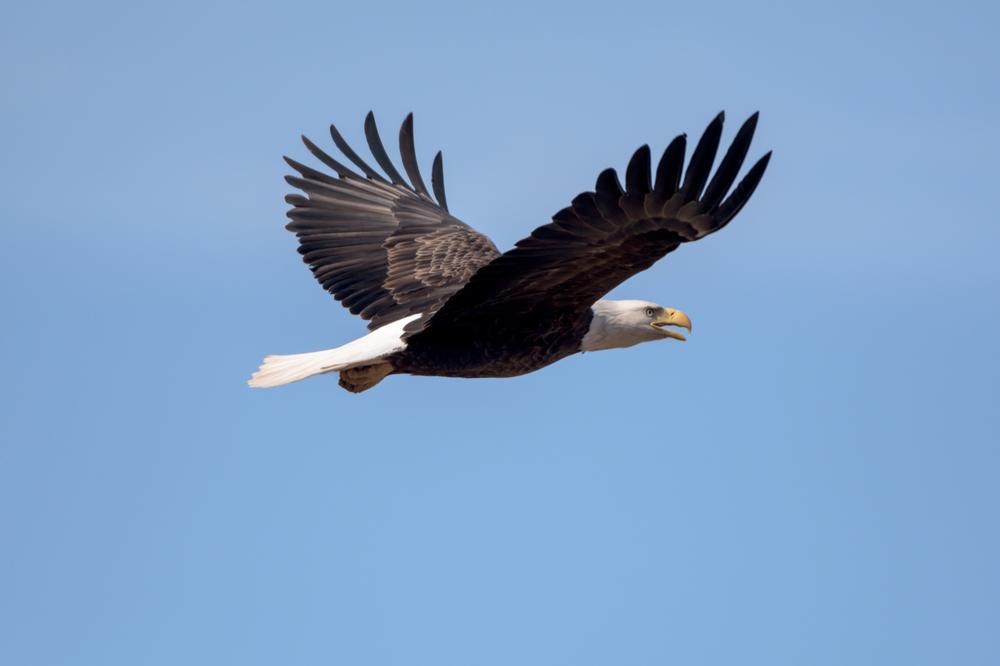
- A diverse cast of wildlife, including bison, bears, and wolves, completes the scene, making every mountain hike in Wyoming an unforgettable experience.
Plan Your Trip