12 Best Places to Go for Birthday

We've been taking special birthday vacations for over three decades and I was interested to learn that we are now not alone! Around 75% of adults now view vacations as essential for celebrating birthdays and other special events (according to AARP Travel Research), a growing trend that's becoming very similar to honeymoon and anniversary travel. This is exactly why I decided to share my favourite birthday travel experiences so that you can use my guide as an inspiration to plan your own road trip.
What I personally love most is planning a birthday trip that feels like it was designed just for me (or the person whose birthday we are celebrating). I lean toward destinations that balance fun and relaxation, and once there, I love finding new underrated things to do last minute.
So, where should you celebrate? To answer that, think about what feels the most unique and exciting for you, whether that's fun on the beach with family, going somewhere cool to eat with friends, an active weekend, or a solo trip you (more than) deserve. What do my favorite birthday places in this article have in common? Actually, this is more about what sets them apart...giving you lots of very different birthday choices on a single page! These below have been unforgettable birthday trips for me personally and I hope you will enjoy yourself there too.
- #1. St. Petersburg, Florida
- #2. Henderson, Nevada
- #3. Things to Do in Biloxi, Mississippi
- #4. Aberdeen, Washington
- #5. San Pedro, California
- #6. Athens, GA
- #7. Grand Portage
- #8. Alaska (Juneau, Hoonah, Haines)
- #9. Penn Yan, New York
- #10. Centennial, Colorado
- #11. Trenton, New Jersey
- #12. Charlevoix, Michigan
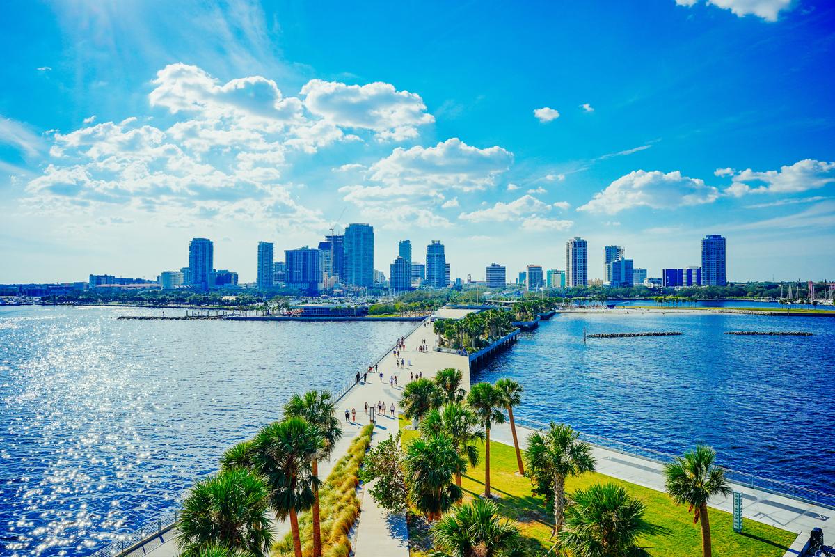
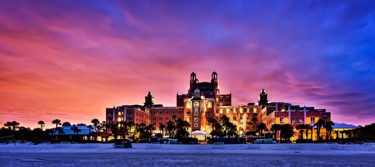
St. Petersburg, Florida
We absolutely love St. Petersburg, have been many times.
Coming in from Tampa over the Gandy Bridge, it was a smooth 25-minute drive.
Once there, I recommend starting at the Dalí Museum, where you can admire glass masterpieces at the Chihuly Collection. After, we strolled along the waterfront parks, browsed the indie shops of the EDGE District, and watched a sunset at St. Pete Pier. Since there is so much to take in, we decided to join a guided tour with a local guide on our first visit which was a great idea.
I loved that "The Sunshine City" was such a cool culinary destination. We bought great sandwiches at Mazzaro's Italian Market, amazing sweet potato fries at Birchwood Canopy, Spanish tapas at Ceviche Tapas Bar, and delicious wood-fired pizza at Bavaro's Pizza Napoletana & Pastaria. Looking back on this trip, we spent a big chunk of our budget on food and it was all worth it!
Love the idea of Florida on your birthday? Check out my favorite places to visit in Florida or narrow down your options with this shorter list of the very best South Florida day trips near Miami.
We settled in for a sunny four day stay in a Premium Bay View Room with a King Bed at the 4-star Vinoy Renaissance St. Petersburg Resort & Golf Club (around $359/night), a AAA Four Diamond award winner to you can trust that you will receive quality service.
What I loved best:
Lunch at Teak right on the water celebrating my birthday with my husband and my son was my personal highlight, where I had Parmesan Herb Crusted Rack of Lamb ($39).
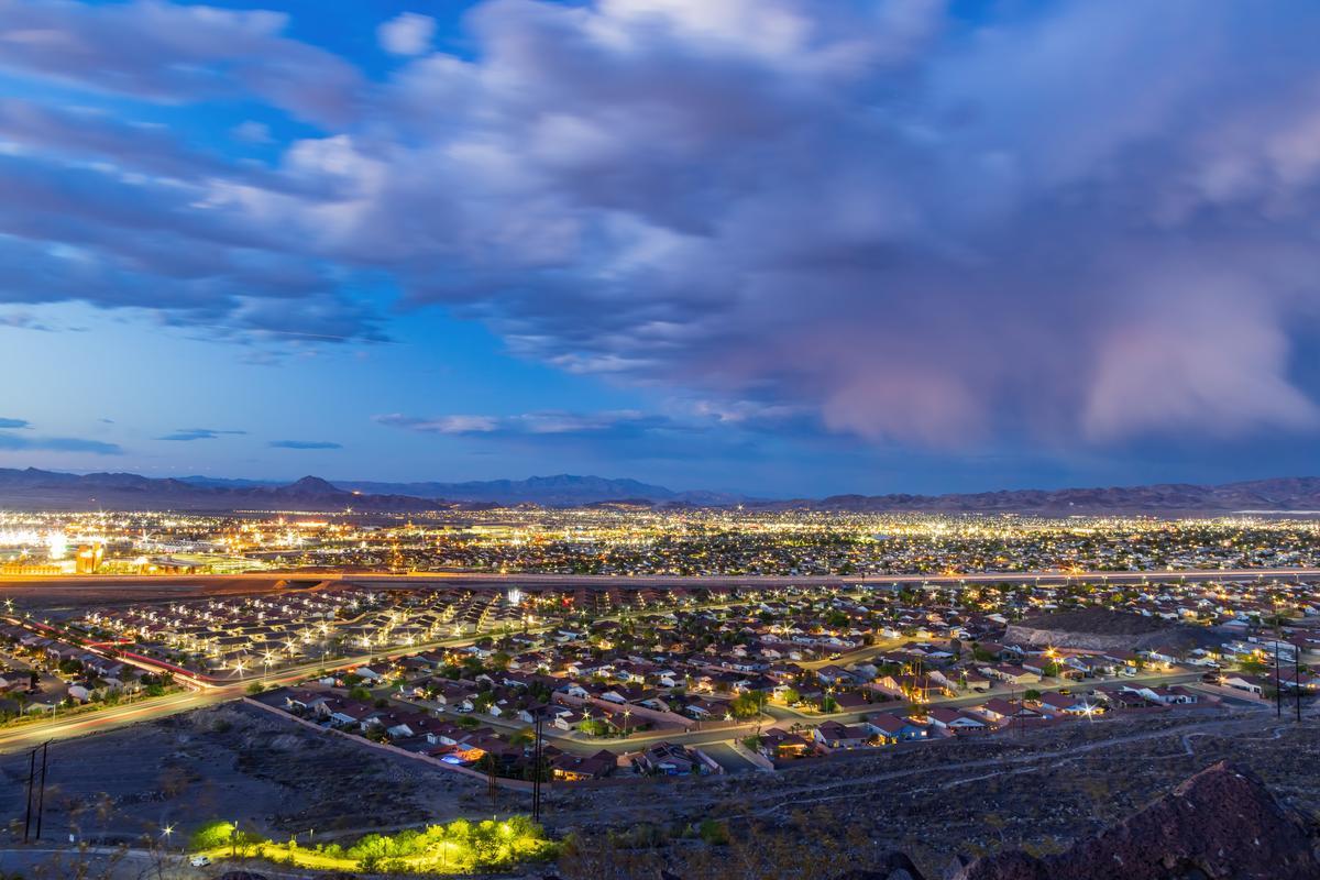
Henderson, Nevada
This is one of my favorite underrated gems. I always think it’s one of the coolest places to explore just outside of Las Vegas (only about 20 minutes from the Strip).
Instead of driving, we caught a regional RTC bus from Las Vegas to Henderson ($2 each way, about 40 minutes) which was super convenient!
We picked up a car rental right at the resort and after dropping off our bags we walked around The District at Green Valley Ranch for a while first. Lunch was our favorite part early on, at Me Gusta Tacos, an affordable spot with amazing tacos just inside The District at Green Valley Ranch.
Later, we drove to Lake Las Vegas nearby, and wow that place is spectacular and unfortunately most people skip it. We rented paddle boats which was a brilliant idea, such a fun birthday experience and very family-friendly too.
As sunset hit, the colors felt unreal, absolute best moment, almost magical and very calming. That night we headed back toward Water Street in downtown Henderson, which is a cool and interesting area.
I recommend stopping for dinner at Borracha Mexican Cantina inside the resort for a Day-of-the-Dead inspired décor with skull motifs, hand-painted murals, a lively lounge vibe!
The next morning we did the Sloan Canyon hike nearby, an underrated nature escape with ancient rock art. It felt like a hidden gem experience, unusual and unique, not what you'd expect so close Vegas.
After hiking we relaxed next to the pool back at the hotel, my favorite part of this birthday getaway.
In the afternoon we drove toward Lake Mead just 30 minutes by car.
What I loved best:
I loved returning to our comfortable Deluxe Room at Green Valley Ranch Resort after a relaxing 60-minute reflexology treatment at the spa!
I also enjoyed exploring the Henderson Bird Viewing Preserve, which was an unusual but amazing experience. It recently won the title of "Best Place to Birdwatch" in KNPR's Best of the City 2024 awards and I completely agree! Watching colorful birds in a peaceful desert setting was so different from the usual Nevada vibe...it gave me a sense of calm that made the trip feel special. For families, it’s one of the absolute best activities.
We checked into 4-star Green Valley Ranch Resort Spa (from $215/night) for two days. But if Green Valley Ranch is sold out when you go, M Resort Spa Casino, a second great option for an overnight stay.
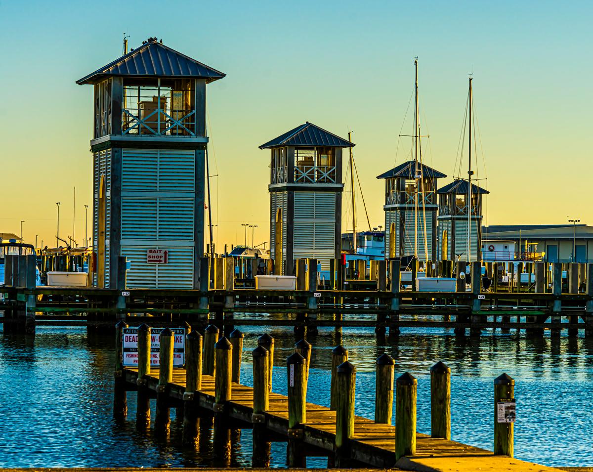
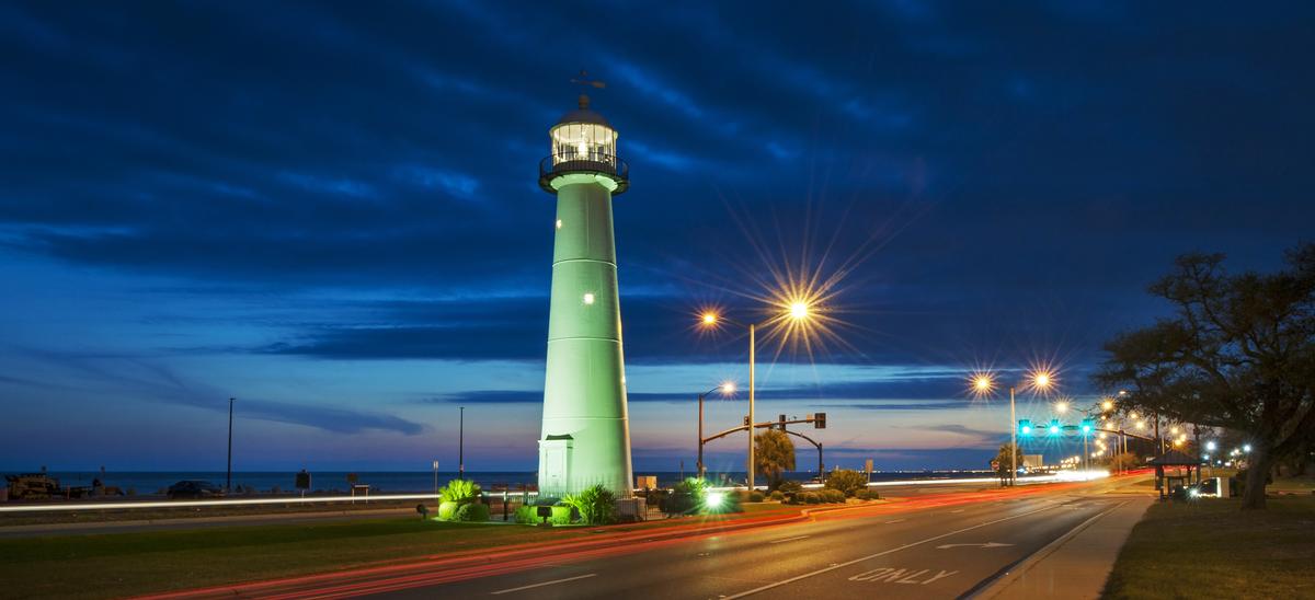
Things to Do in Biloxi, Mississippi
This is one of my favorite vacation ideas for beach vibes, great seafood, and lively entertainment.
When I moved to the South, my cousin decided on this beach destination for her 40th birthday and we all thought it was a brilliant idea. When we pulled in, we instantly adored wide beaches, big skies, and that laid-back Mississippi Coast vibe, with shrimp boats in the harbor.
We headed to Biloxi Beach first thing (of course!), laughed, joked and discussed birthday dinner plans for my cousin. We settled on Coraline's for its seafood and traditional Cajun options at Beau Rivage Resort. Plus the resort made online booking super convenient so we booked a table while watching a beautiful sunset right on the beach!
I was up early and I spent the morning back on Biloxi Beach. After breakfast, we toured the fascinating Maritime & Seafood Industry Museum ($10 Adult admission), visited the historic Biloxi Lighthouse ($5), and wandered through the grounds of Beauvoir, with its sweeping oak-shaded lawns.
Coming in along Highway 90, we checked into the sleek 4-star Beau Rivage Resort (around $161 per night) for a four day weekend. I instantly fell for the floor-to-ceiling windows of my Deluxe King Room the way they framed the Gulf.
What I loved best:
Dining at The Reef was a standout, a beachfront spot where I had the Gulf Shrimp Po’boy ($15) and my son loved their fried catfish basket ($12).
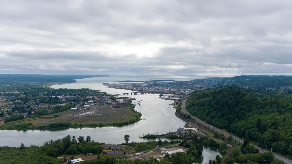
Aberdeen, Washington
Ahh Aberdeen, Washington — the rain-soaked birthplace of Kurt Cobain, and one of my favorite places to go for a birthday vacation. I have to admit I was here just once so I'm no expert but I instantly fell for its proximity to some of the wildest scenery in the Pacific Northwest.
While driving in from Olympia along Highway 101 for an hour, I loved the way the scenery shifted from open fields to thick evergreens.
First, I loved learning about Aberdeen's timber town history (late 1800s). I recommend walking along the Wishkah River Walk which gives you a real sense of the town’s industrial roots and everyday pace of life.
Next, for music fans, Aberdeen is almost a pilgrimage site. Kurt Cobain Memorial Park sits quietly by the river, offering a reflective stop. Nearby murals and tributes throughout town subtly nod to Nirvana’s legacy too.
For dinner, food-wise, Aberdeen isn’t a fine-dining destination — and that’s part of the appeal. Expect classic diners, local taverns, and hearty comfort food that makes you feel like home.
Next day, we realized that one of Aberdeen’s biggest strengths is its location. It’s about 2.5 hours from Seattle by car and serves as a perfect gateway to the coast. Within an hour, you can reach Westport’s beaches and lighthouse, Ocean Shores, or even push north toward Olympic National Park. If you love stormy coastlines, driftwood-covered beaches, and moody Pacific Northwest vibes, Aberdeen puts you right in the middle of it all!
What I loved best:
Our best meal was at Breakwater Seafood, where we celebrated my husband's birthday. I had the Dungeness Crab Sandwich ($19) (my son loved the more simple but equally satisfying fish and chips for $14). Sitting by the windows with a view of the river made this birthday celebration feel coastal and comfortable, my favorite highlight.
We checked into the 2-star Best Western Plus Aberdeen (around $164/night) for an easy week, which had a good location to access downtown, the harbor, and was an affordable home base.
San Pedro, California
Tucked away at the southern edge of Los Angeles (30 miles south of downtown), this town might fly under the radar, but for a family-friendly birthday filled with ships, sea life, and coastal adventure, it was one of the best birthday vacations yet!
We strolled along the waterfront first thing after reaching San Pedro on our journey from San Diego (about 2 hours by car).
Birthday dinner was casual at San Pedro Brewing Company with an easy sizable American menu.
In the morning after breakfast, we took our son to Cabrillo Marine Aquarium (FREE to visit year-round), which is perfect for hands-on fun. The touch tanks are always a hit with kids, and the exhibits are short and engaging, making it easy to enjoy without getting bored. Plus, free entry makes it an easy win for a birthday outing.
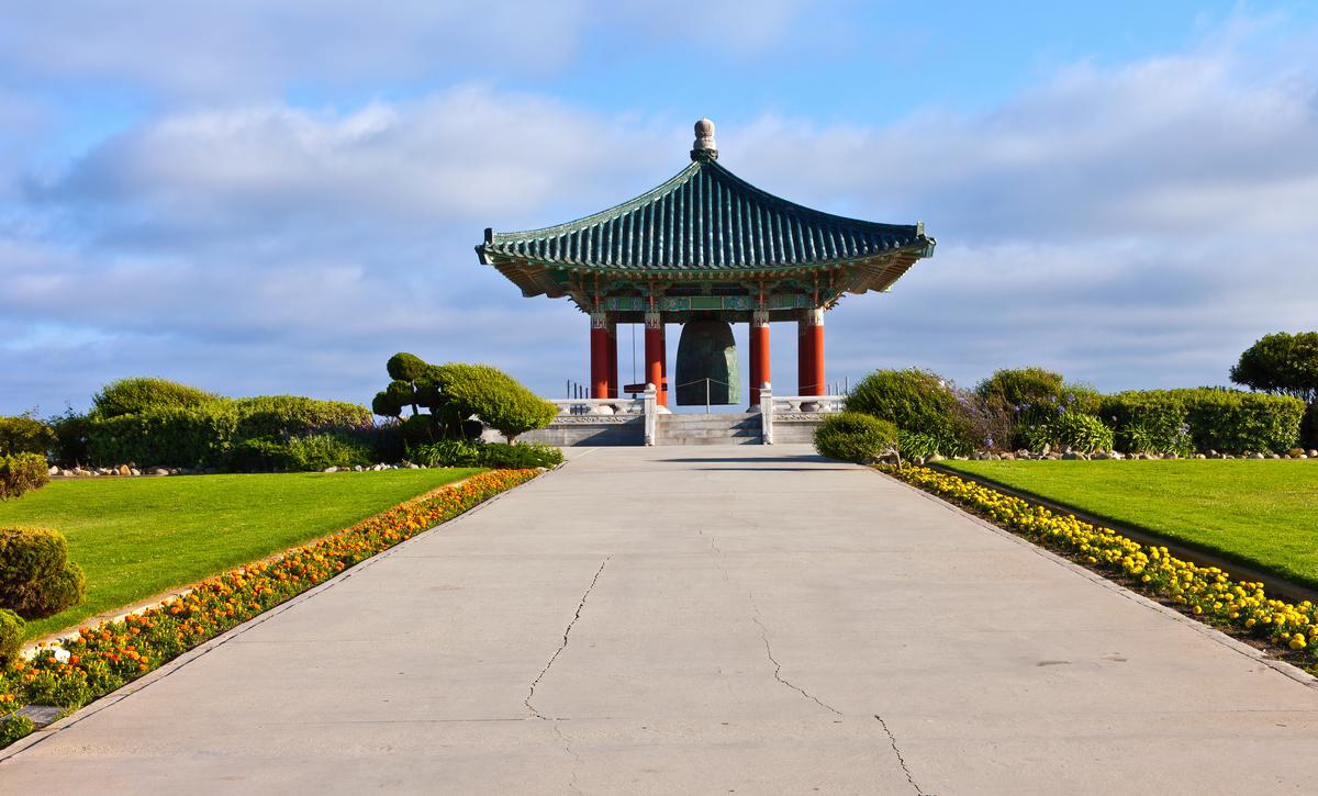
For some fresh air after lunch, Point Fermin Park was ideal. The cliffside views, open grass, and ocean breeze gave everyone space to relax, run around, and snack before the next stop. Nearby, the Korean Bell of Friendship adds a calm (but impressive!) moment with sweeping views that make great birthday photos.
To finish the day, San Pedro has plenty of casual food options near the harbor — perfect for a birthday meal. Whether it’s pizza, burgers, or a relaxed waterfront dinner, it’s easy to end the celebration with good food and ocean views.
Our best meal was at San Pedro Fish Market, where I had the shrimp tray ($24) piled high with garlic and peppers and eating outdoors, surrounded by the buzz of the harbor, made it very grounding.
What I loved best:
One of the highlights — especially for kids — is the USS Iowa Battleship. Stepping onto this enormous ship instantly feels exciting. You can walk the decks, explore interior rooms, and imagine what life was like onboard. It’s the kind of place that naturally turns into a birthday highlight without needing anything extra.
We checked into in a Standard room with a King bed at the Crowne Plaza Los Angeles Harbor Hotel for two nights (around $223/night) where I (above all) loved the amazing views of the ocean below.
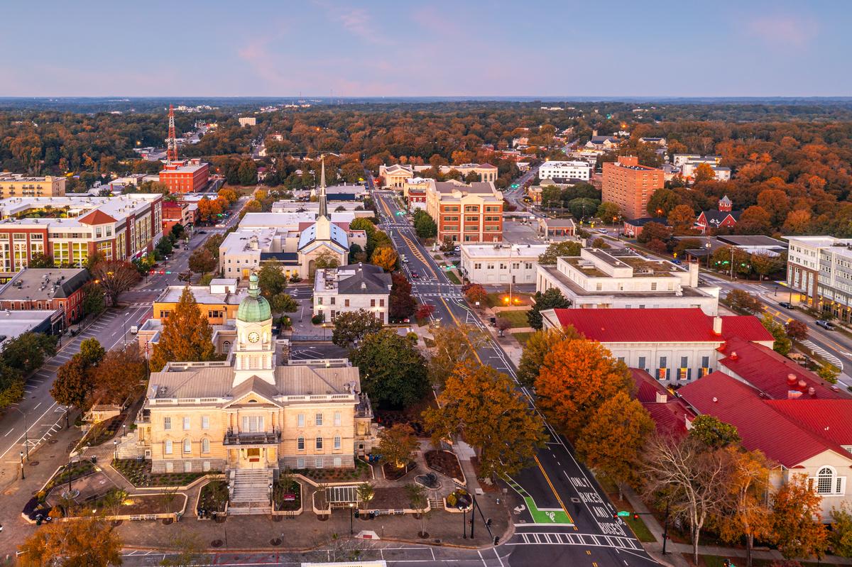
Athens, Georgia
I keep returning to this awesome college town (home to the University of Georgia) so it's no surprise that one of those trips fell on my birthday. Athens is one of my absolute favorite places to visit in Georgia because there are heaps of things to do here!
I'm a history buff so I went for Civil War-era landmarks (Cook & Brother Armory, Clayton Street, and Double-Barreled Cannon outside City Hall) as soon as we arrived, but you can catch a show at a legendary music venue on your birthday instead. I have to warn you, though, that parking can be a challenge!
After a one hour and 30 minute drive from Atlanta, we were based at the 3-star Hotel Indigo Athens Downtown for two festive days, followed by a week in an affordable vacation rental.
What I loved best:
My birthday meal was at The Last Resort Grill, where I had the pecan-crusted trout ($22) and my son and husband both loved their pimento cheeseburgers ($15 for one).
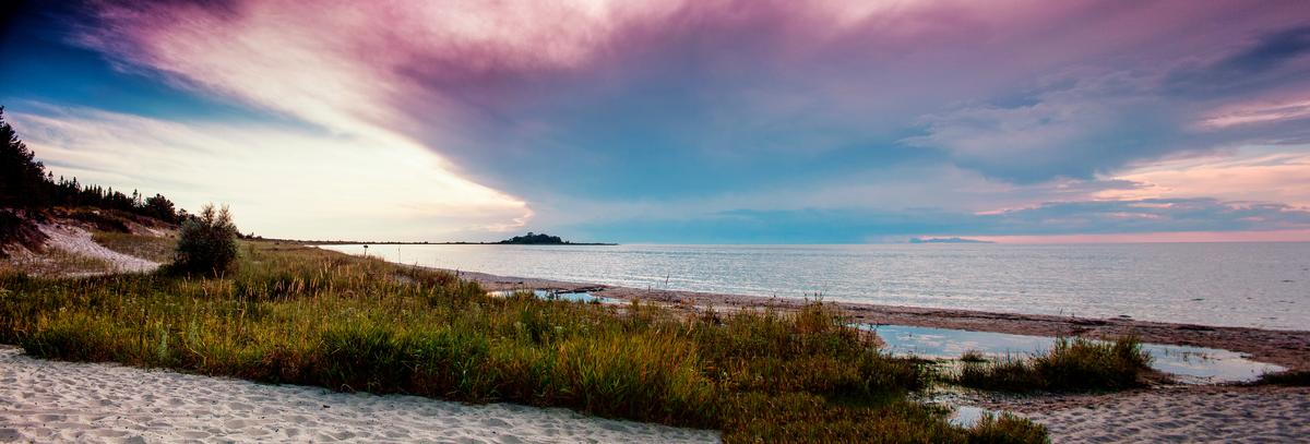
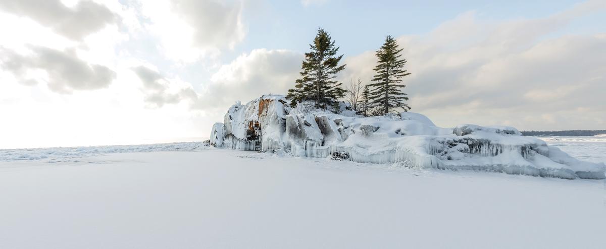
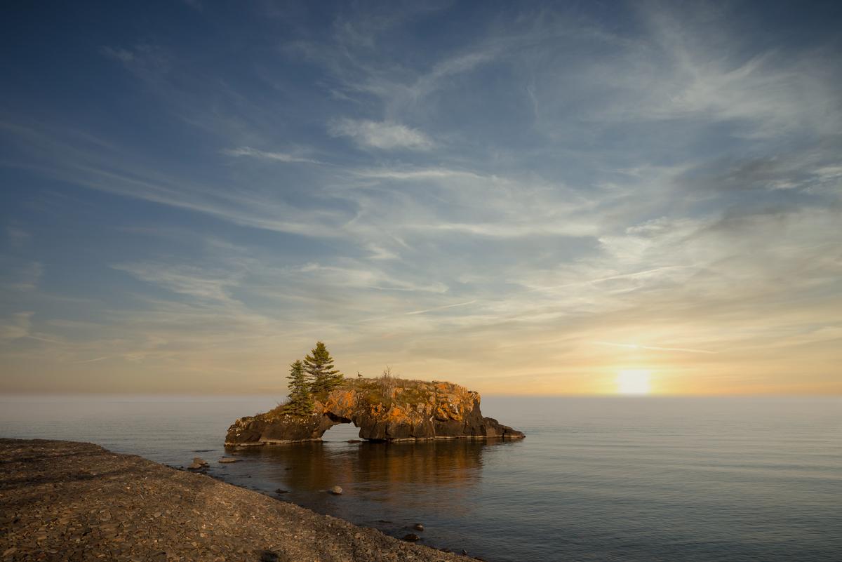
Grand Portage - 2 hours 40 minutes from Duluth
This is one of the best places to go for a (summer!) birthday celebration, a spectacular spot right on the edge of Lake Superior (my #7 choice). I instantly loved the natural feel with a stunning landscape of forests, waterfalls, and wide-open lake views from the North Shore.
What I loved best:
Staying at the 2-star Grand Portage Lodge & Casino (around $129 /night) for five relaxing days was my favorite highlight. The hotel sits right on Lake Superior and our room with two Queen beds had scenic water views. My best meal was at the on-site restaurant, where I had fresh walleye with wild rice ($22). My son loved the burger and fries ($12), his go-to meal. Eating while looking out over the lake made this birthday meal totally unforgettable!
Birthday in Alaska
If your birthday happens to be in July (or August like my husband's), you couldn't wish for a better birthday adventure than Alaska (my #8 place to go for a birthday vacation)!
When our flight from Austin landed in Juneau, I immediately thought that Juneau was a great place to visit on my husband's birthday (and a great base for nearby exploring). We celebrated at The Hangar On The Wharf, a converted airplane hangar (with large windows) on a wooden pier, a super cool experience! We stayed in a local rental for a week and visited Sealaska Heritage Institute (twice!) where learning about Tlingit, Haida and Tsimshian cultures was my personal highlight.
- Just a heads up (for your flight and tour planning) that Alaska uses two time zones: the Alaska Time Zone, covering most of the state, and the Hawaii-Aleutian Time Zone
- Juneau Location Map
One of my favorite side trips was Hoonah where we spent five relaxing days in a vacation rental. One of our favorite moments in Hoonah was visiting Icy Strait Point, and afterwards just strolling around the small harbor and enjoying fresh, affordable seafood straight from local waters. Nonstop Hoonah flights from and to Juneau take approximately 20 minutes.
Another place we adored was Haines (35-minute nonstop flight from Juneau) which felt like one of the most spectacular and underrated towns I’ve ever discovered in Alaska. Our first stop was the Chilkat Bald Eagle Preserve where seeing hundreds of eagles soaring over the river during salmon season was pure magic. If you like beer, don't miss visiting Haines Brewing Company, offering hand-crafted brews and snacks. We stayed in 2-star Captain's Choice Motel (around $224/night) for three days of summer exploring.
In addition, a great way to see a lot in a short time in Alaska is one of Gondwana Ecotours, a carbon-neutral tour operator, that takes you to Denali, to see Northern Lights, glaciers, whales and even Alaskan waterfalls, a real standout was far as Alaska tours go (there's lots to choose from)!
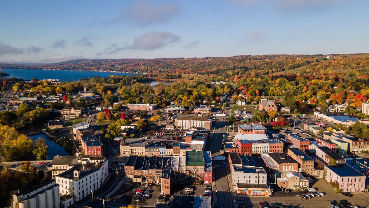
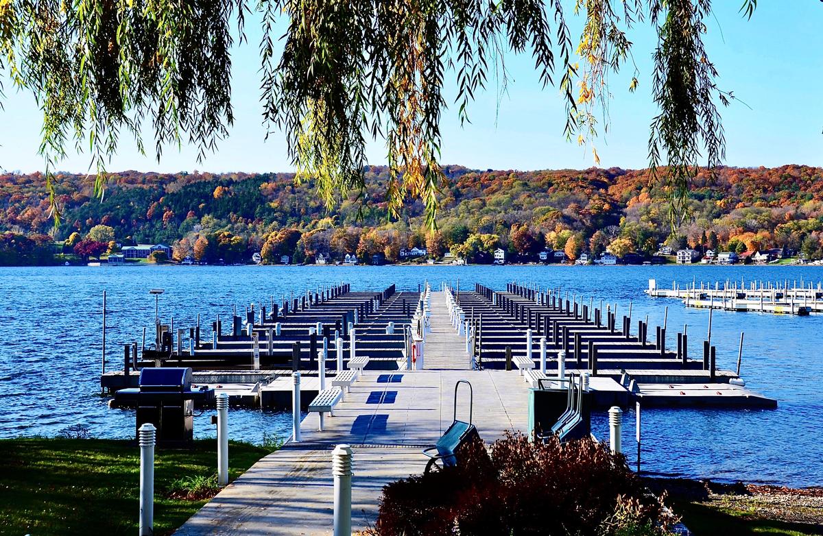
Penn Yan, New York
This town sits quietly on the northern tip of Keuka Lake (one of New York's Finger Lakes) and makes for one of the best birthday relaxing vacation destinations in New York State (my #9)!
As we were driving down from Rochester, just outside of the "Buckwheat Capital of America," we saw rolling vineyards, winding country roads, and the serene blue waters of the lake. Our first stop was Downtown which I found enchanting with brick storefronts, cafés, and murals. We checked into Hampton Inn by Hilton Penn Yan, right on the lakefront ($135) for five wonderful days, one of which was my birthday!
What I loved best:
My birthday meal was at The Union Block Italian Bistro, a tucked-away spot on Main Street. The wood-fired pizza which was shared ($17) was incredible, and on top of that my son devoured a bowl of house-made pasta ($14). It was the kind of cozy, laughter-filled meal that made us feel like we were celebrating a birthday at home.
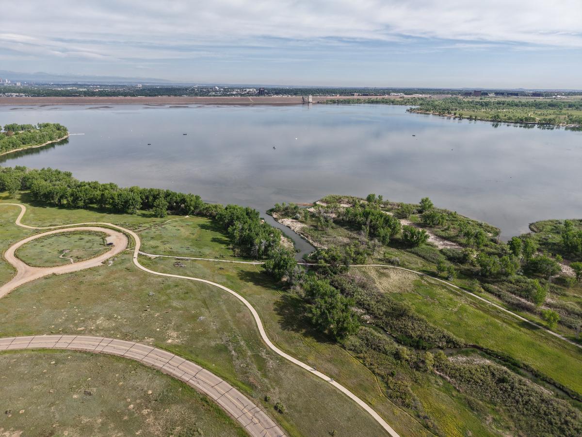
Centennial, Colorado
Ready for a birthday trip with mountain views and easygoing charm? Check out Centennial, a real standout for an off-the-beaten path road trip, and my #10 place to go for a birthday vacation! This town was close enough to Denver for a quik birthday day-trip (just 22 minutes by car) when we were based in Denver, yet tucked into parks and open spaces that slow life down.
You’ll find bustling shopping districts here, a selection of cool family-friendly restaurants for your birthday, and a surprising number of cultural spots, all surrounded with greenbelts and bike paths.
What I loved best:
My birthday meal was at I.C. Brewhouse, where I had their Colorado Bison Burger ($16) paired with a local craft beer. My son loved the mac & cheese bowl ($9).
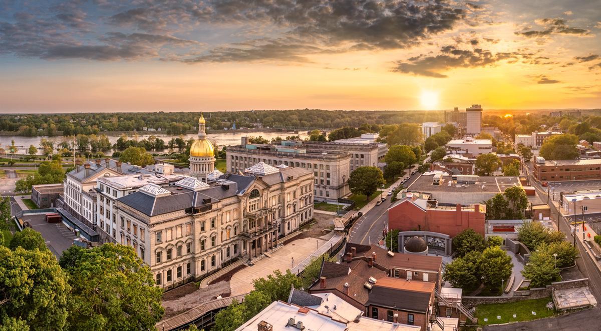
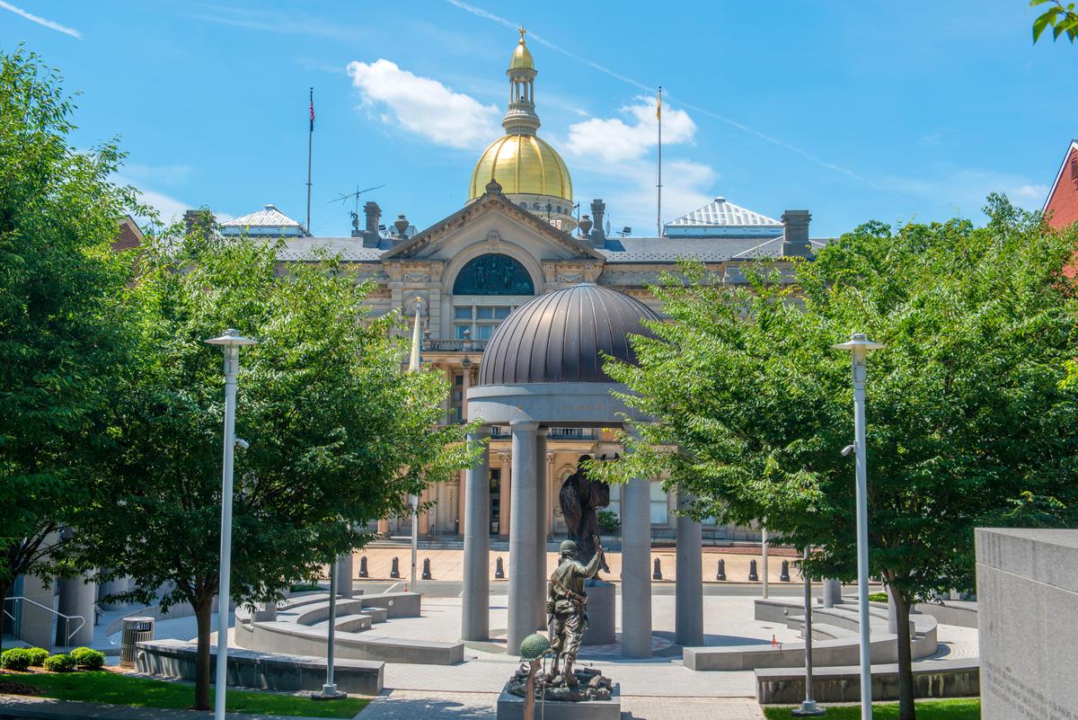
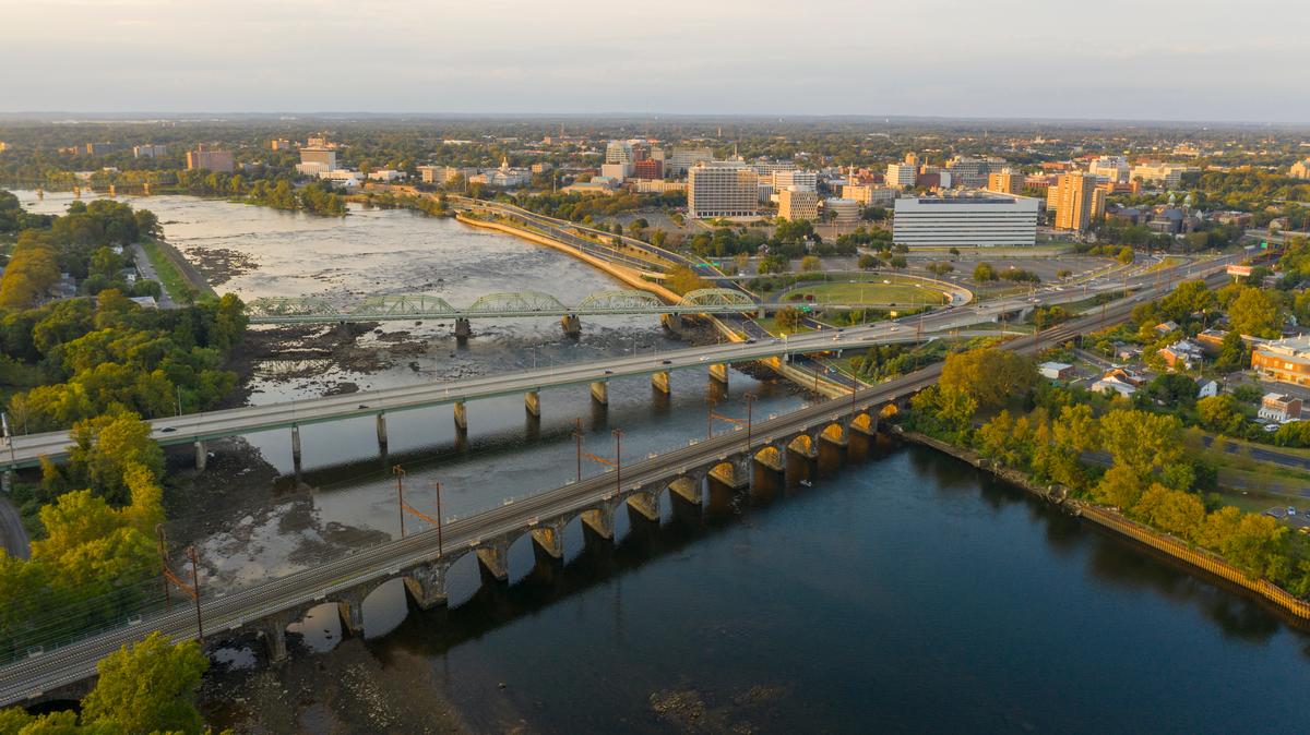
Trenton, New Jersey
Situated along the Delaware River, this is one of the most intriguing places to visit in New Jersey, and I think it’s my #11 place to go for a birthday vacation.
From our apartment in NYC, we drove about 1 hour and 20 minutes to New Jersey’s capital for an easy birthday day trip in early spring. I later found out that Amtrak is actually faster than driving and costs around $43/person.
First, we admired monuments and old stone in this historic town on the Delaware River which played a pivotal role in America’s beginnings. Next, I loved that the day trip didn't require a lot of planning since there are plenty cafes, diners and local markets where you can grab a snack or stop for lunch when you get hungry.
What I loved best:
My birthday meal was at 1911 Smoke House BBQ, where I had their signature brisket platter ($18) and my son and my husband both went for the pulled pork sandwich ($12).
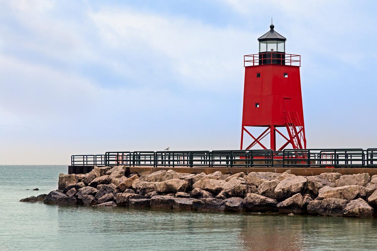
Charlevoix, Michigan
I spent my birthday in Charlevoix, Michigan, and it felt like the most peaceful, joy-filled way to mark another year, my #12 place to go for a birthday vacation.
First thing, we enjoyed walking along the harbor, watching sailboats drift by on a sunny afternoon. It felt simple and perfect, the kind of quiet happiness that stays with you.
We explored the mushroom houses next, and their whimsical, storybook charm made the day feel playful and light—like a reminder to hold onto curiosity and joy, no matter the age.
We treated ourselves to a long, leisurely birthday dinner downtown—good food, lake views, and that unspoken feeling of gratitude that comes from being exactly where you’re meant to be.
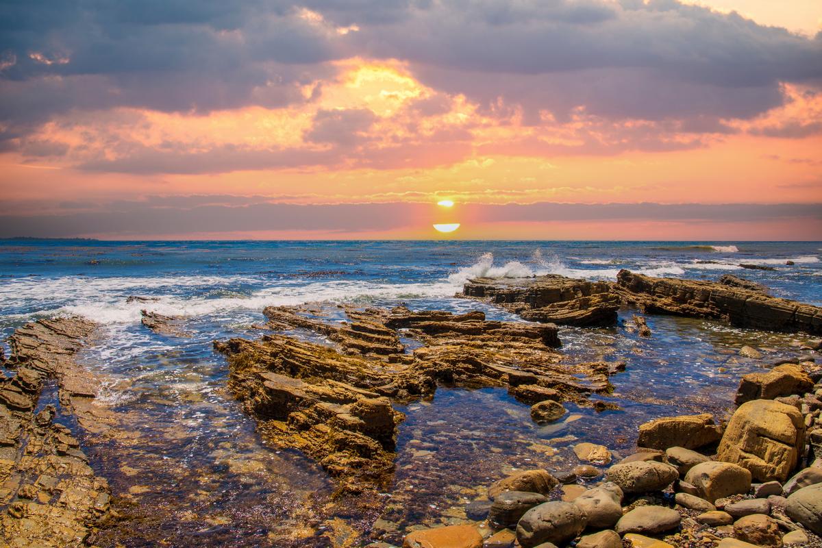
As the sun set over Lake Michigan, the sky turned soft shades of pink and gold. Standing there, making a quiet birthday wish, I felt calm, loved, and deeply content.
Next day, a visit to Castle Farms added a touch of magic. Wandering the stone grounds and gardens felt timeless and romantic, and it made the whole day feel meaningful in a way that went beyond celebrating just one date on the calendar.
We drove 4 hours on a road trip from Detroit and we stayed at the Hotel Earl of Charlevoix for two easy days.Nestled between Lake Michigan and Lake Charlevoix, the town had a gentle, celebratory energy—calm, beautiful, and exactly what I wanted.
What I loved best:
For me, Charlevoix is one of the best places to visit for my birthday because it's affordable and unique!
The Villager Pub was my personal highlight, where I had their famous whitefish sandwich ($15).