
-
Where is Big Bear Lake located?
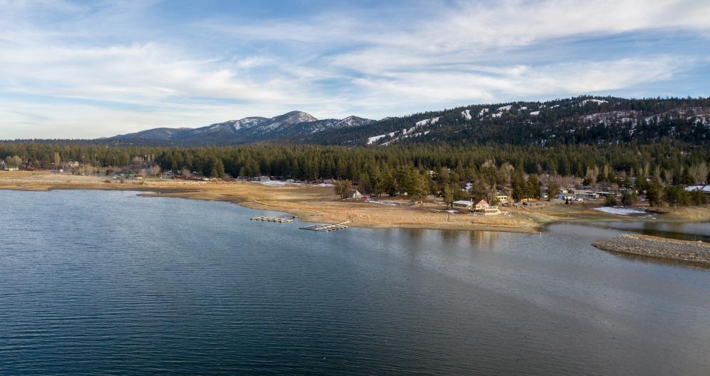
- Just a short, 25-mile drive away from San Bernardino, sits the little city of Big Bear Lake. Located among the San Bernardino Mountains on the shoreline of Big Bear Lake.
-
What is the size and population of Big Bear Lake?
- Big Bear covers an area of 6.54 square miles (16.93 square km) and has a population of just over 5,000 people, but attracts many more due to its prime location for various activities and recreation.
-
Who were the original inhabitants of the Big Bear area?
- The native Serrano Indians lived in the area around Big Bear several millennia ago.
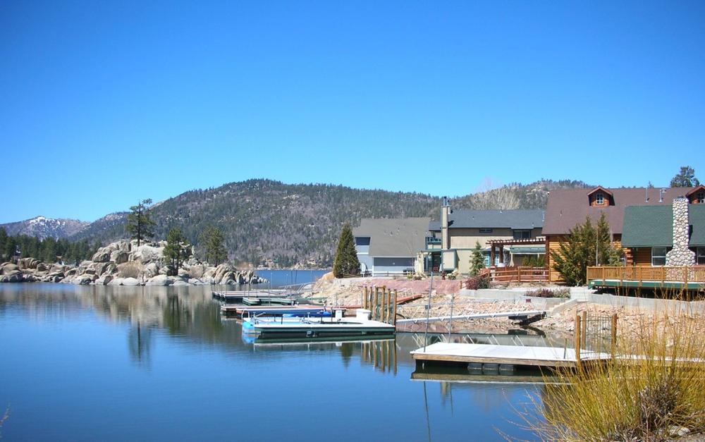
⮕ Big Bear's elevation is 6,752 feet
© glowonconcept/stock.adobe.com
-
What is the elevation of Big Bear Lake?
- Big Bear's elevation is 6,752 feet (2,058 m), making it a relatively high location, especially compared to other major cities in California like San Francisco (53 feet / 16 m) and Los Angeles (285 feet / 87 m).
-
What are the highest points around Big Bear?
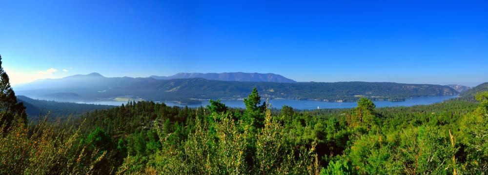
- The two highest points around Big Bear are the nearby ski resorts of Snow Summit and Bear Mountain. Snow Summit has a highest elevation of 8,174 feet (2,491 m), while the highest elevation at Bear Mountain is 8,805 feet (2,684 m).
-
How did Big Bear get its name?
- The area earned its name due to the large population of grizzly bears that called the area home at the time, with American politician and explorer Benjamin Wilson being one of the first to come upon the area in the 19th century.
-
How did Big Bear become popular?
- The town was founded during the Southern California Gold Rush, leading to new residents and businesses setting up in the area, making it popular for settlers.
-
Why do celebrities visit Big Bear?
- Celebrities and A-list stars began visiting Big Bear on vacation, with some even choosing to shoot movies there. Over time, Big Bear's reputation grew as a top spot for various activities year-round, such as fishing, hiking, and camping in the summer and skiing in the winter.
⮕ Elevation of Big Bear
© harasahani/stock.adobe.com
-
What is the mean elevation of California?
- California is the 11th highest state in the United States in terms of its mean elevation, which is 2,900 feet (880 m).
-
What is the highest point in California?
- The highest point in California is Badwater Basin, which stands at an elevation of 14,505 feet (4,421 m).
-
What is the lowest point in California?
- The lowest point in California is Badwater Basin in Death Valley, which is 279 feet (85 m) below sea level.
-
What is the highest town or city in California?
- The highest town or city in California is Mammoth Lakes, located in Mono County, with an elevation of 7,920 feet (2,414 m).
-
How does the elevation of Big Bear compare to Mammoth Lakes?
- Compared with Mammoth Lakes, Big Bear is over 1,000 feet lower, but it remains one of the most elevated inhabited locations in California.
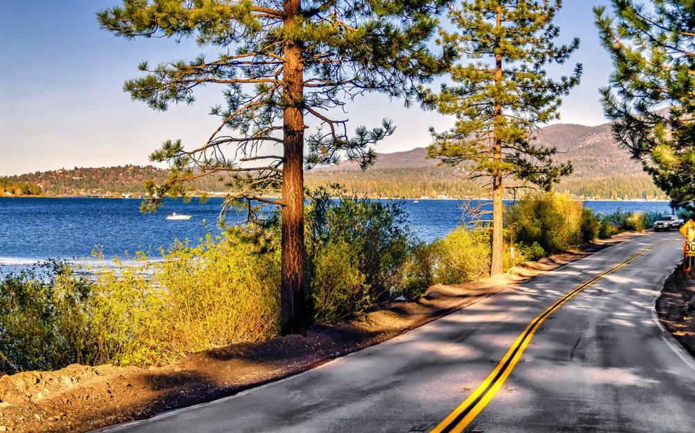
⮕ Big Bear elevation compared to other cities
© Lux Blue/stock.adobe.com
-
How does Big Bear’s elevation compare to other major cities in California?
- As mentioned earlier, Big Bear has a higher elevation than many major cities in California, including Los Angeles and San Francisco.
- For example, San Diego has an elevation of 62 feet (19 m), while the state capital, Sacramento, has an elevation of 30 feet (9.14 m).
- Many major cities in California have very low elevations as they are located near the Pacific Coast, whereas Big Bear’s higher elevation is due to its location relatively far inland.
-
What is the climate like in Big Bear?
- Big Bear has a warm-summer Mediterranean climate, meaning temperatures get very high during the summer months (June through September).
- The coldest month of the year is January, with an average temperature of 34°F (1°C).
- The relatively low temperatures in Big Bear, compared to nearby Los Angeles, are partly due to Big Bear’s high elevation, as temperatures drop with altitude.
- Snow can fall quite heavily in Big Bear from December through March.
-
What activities can visitors enjoy in Big Bear?
-
Big Bear has become a popular tourist resort town thanks to a wide range of activities, such as:
- Fishing at Big Bear Lake, which is the most popular recreational lake in Southern California. Popular fish species include catfish, trout, and bass.
- Cycling, hiking, and mountain biking
- Horseback riding
- In winter, Big Bear offers popular skiing and snowboarding at the two local resorts: Snow Summit and Bear Mountain.
-
Big Bear has become a popular tourist resort town thanks to a wide range of activities, such as:
Plan Your Trip