

Dreaming of mountain air, winding trails, and breathtaking views? These beautiful Virginia mountains offer the perfect mix of nature, history, and cozy charm all year round.
This is what I recommend that you do:
Unique Virginia Mountains:
1. Old Rag Mountain
Hike challenging trails, admire breathtaking summit views and rocky landscapes.
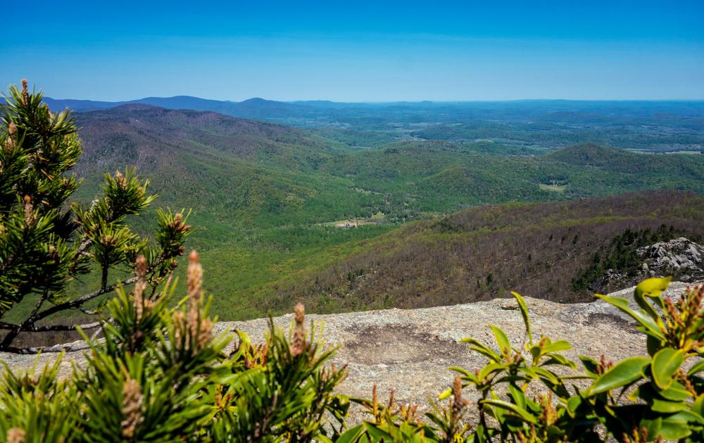
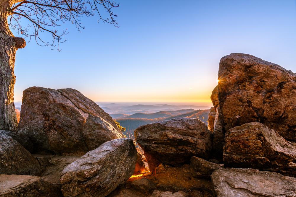
Old Rag Mountain is a 3,268-foot-tall exposed granite mass located in the Shenandoah National Park, east of the Blue Ridge. One of the first mountains that outdoorsy Virginians tackle, Old Rag will make you hike about 3 miles to reach the summit if you take the shortest route, gaining 2,200-3,000 feet in elevation. Most of the commonly used standard route crosses open rock, making the hike an above-timberline experience, rare in the Southeast. Some Class 3 scrambling is involved, making hiking Old Rag a real adventure for beginner hikers who have never experienced real alpine mountains. The trail can get crowded since it is only 2 hours from Washington, D.C.
2. Mount Rogers
Walk scenic trails, explore Virginia’s highest peak with wild ponies.
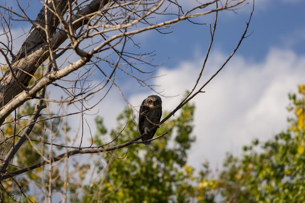
At 5,729 feet, Mount Rogers is the most famous and the highest peak in Virginia. There are no roads leading to the summit, making it secluded and isolated. There are two major hiking trails up the mountain. The shortest, and for that reason the most popular, route is via Massie Gap in Grayson Highlands or the Elk Garden Trailhead. The Massie Gap is an 8-mile round trip, and the Elk Garden is little longer at 9 miles. The Massie Gap Trail is the most scenic summit approach and by far the most popular way to get up Mount Rogers. Mount Rogers is the summit of the Mount Rogers National Recreational Area, which was established to protect the natural landscape. The mountain is one of the last remaining homes to Southern Appalachian spruce-fir forests, with the rare Fraser fir, which normally grows above 5,500 feet. While beautiful, these massive trees obstruct any view you might have hoped for from the summit of Mount Rogers. However, the trail has other delights, such as rhododendron thickets, which bloom vividly during the months of May and June, and a chance to see some wild ponies.
3. Pignut Mountain, Virginia
Hike peaceful trails, enjoy quiet nature and wildlife sightings.
Pignut Mountain is located in Shenandoah National Park, between Thornton Gap and Front Royal, Virginia. The 2,531-foot-tall mountain is part of the Blue Ridge. There is no trail going all the way to the Pignut summit. You have to take the Keyser Run Fire Road, which will bring you to a saddle about 0.6 miles from the summit. This saddle is the site of the old Bolen Cemetery, a resting place of some of the hardy people who lived in this rugged, isolated area before it became Shenandoah National Park. You will find the trailhead at an elevation of almost 1,200 feet. As you hike along the Keyser Run Fire Road for about 1.2 miles until it meets the Hull School Road Trail, you will gain about 700 feet in elevation. To reach the summit, this hike is about 3.6 miles, and the total elevation gain is about 1,330 feet.
4. High Knob - Stone Mountain
Climb rugged paths, admire panoramic views from the summit.
At 4,233 feet, High Knob - Stone Mountain is Wise County’s tallest mountain. It is located at the intersection of Powel and Stone Mountains, parallel to Powell River Valley, above Big Stone Gap and Pennington in Virginia. The Nature Conservancy considers High Knob an important area of natural diversity, creating a dispute with logging interests. Once you reach the summit, you can see all the way to Kentucky, Tennessee, and even West Virginia. Camp Rock and one of the most popular overlooks are located 1.5 miles from the summit. High Knob is known as the location of the Omega Cave System, with the deepest cave this side of the Mississippi at 1,263 feet.
Romantic Virginia Mountains:
5. Apple Orchard Mountain
Explore forested trails, enjoy breathtaking views from Virginia’s tallest peak.
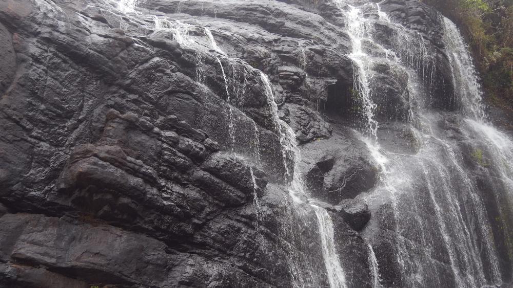
Don’t expect to find any apple orchards on Apple Orchard Mountain. This 4,225-foot mountain is covered with forests of northern red oaks, which wind and time have severely pruned over the years to resemble an apple orchard. The Appalachian Trail and the Blue Ridge Parkway will take you almost to the summit. The top of the mountain is open and is dominated by a naval radar station, which is off limits, although it presents a great temptation because of the views it awards. For those hiking the Appalachian Trail, the Apple Orchard Mountain summit is the tallest peak for 1,000 miles if heading north or 300 miles if heading south. The slopes of the mountain make for great hiking, as they are densely covered with verdant vegetation and full of wildlife. It is not rare to spot black bears and whitetail deer. Close to the summit, you will pass an impressive, very beautiful waterfall.
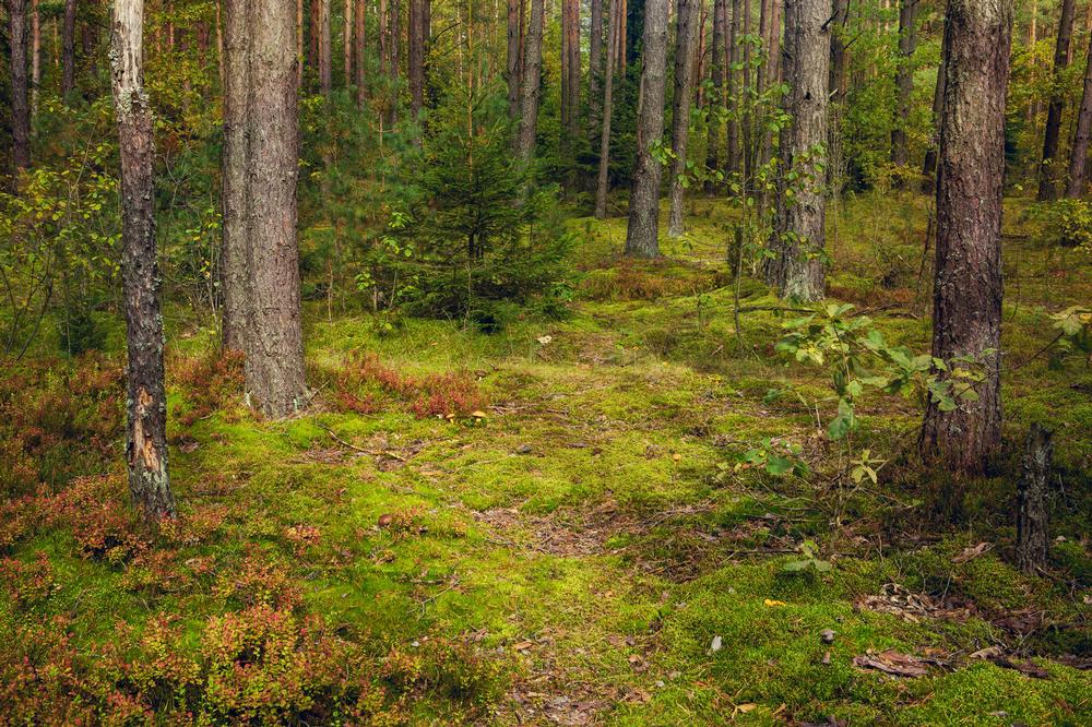
6. Middle Mountain
Hike serene trails, admire diverse wildlife and natural beauty.
At 3,187 feet, located in Douthat State Park, Middle Mountain, Virginia is just about in the middle between mountains and high hills. It is a fairly typical Blue Ridge peak, with a long, steep ridge separated from other summits by low gaps. There are no clear, open summits on Middle Mountain, only a few rocky outcrops breaking the dense cover of mostly hardwood forests. There are very few evergreens on the mountain slopes, mostly isolated in the humid areas near the streams. Most springs, streams, and waterfalls in the area disappear during late summer and fall. To reach the summit, you will have to use a number of interconnecting trails, which make a 13-mile-long loop. The trailhead is at White Oak Campground.
7. Rockytop
Climb steep paths, enjoy scenic mountain views and challenging hikes.
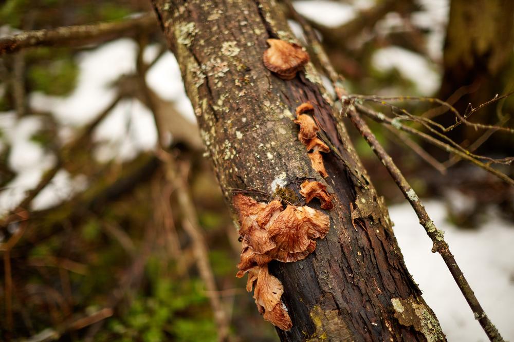
At 2,856 feet, Rockytopis one of the largest peaks in the South District of the Shenandoah National Park and part of the Big Run watershed. South District has few trails, so it is much less used than the other of the park’s districts. The trails running through the Big Run pass through gorgeous landscapes of high cliffs, talus slopes, clear trout streams, and sandstone outcrops. This is wild area, with common sightings of bears. The high ridge of Rockytop dominates the view as seen from the Big Run Overlook, from Skyline Drive.
It forms one of the walls of Big Run Canyon. The trail through Rockytop runs along the ridgeline, crossing a number of talus slopes, the main attractions of Rockytop since they provide excellent views of parts of the park. The talus slopes contain interesting specimens of fossilized wormholes that are 500 million years old.
Family-friendly Virginia Mountains:
8. Hazel Mountain
Explore remote trails, discover peaceful surroundings and nature’s tranquility.
Hazel Mountain rises 2,878 feet north of Nicholson Hollow proper, between Short Mountains and Catlett. It is not distinguished in any way and has no trail to the top and no unrestricted views from the summit. On the summit, there are only a few small glades and no signs of people ever passing through. And that solitude is the best reason to go up Hazel Mountain, exploring the true wilderness only 1.5 hours from the main metropolitan centers. However, this is not a mountain for the uninitiated and inexperienced. There are two possible routes to the top, both requiring off-trail scrambling and bushwhacking through a lot of thorny undergrowth. For that reason, it is better to hike in the winter when the bushes are less dense. From Skyline Drive, you can take the 7.5-mile White Rocks-Hazel Mountain Loop, and from outside the park, the 6-mile Hazel River-Sam's Ridge Loop. Watch out for snakes and poison ivy.
9. Oventop Mountain
Hike quiet paths, enjoy scenic views and serene landscapes.
Oventop Mountain, Virginia is a 2,468-foot mountain in Blue Ridge mountain range, a lovely forested mountain that gets more interesting as you get closer to the summit. There are some nice outcrops that are practically as high as the real summit with lovely views, a few clear, and one rocky outcrop that requires some serious scrambling to get to the top. There is an old trail that runs along the mountain ridges, connecting all three summits, and while not maintained, you will find it along the way in places. If you like solitude and enjoy some bushwhacking, you will love Oventop Mountain. To reach the main summit, you will hike 1.8 miles and gain 1,100 feet in elevation. There are no campgrounds, but back-country camping is allowed with a permit.
10. The Pinnacle
Climb to breathtaking heights, admire sweeping views of the surrounding area.
At 3,730 feet, The Pinnacle is the tallest mountain in Rappahannock County. It is located in Shenandoah National Park and its summit is just off the Appalachian Trail. The trailhead is accessible from Skyline Drive. The trail along the mountain contains a number of large boulders, perfect for rock climbing. Once at the top, there are several spots with excellent views of the Shenandoah Valley and all the surrounding mountains. If you want to extend your hike, you can easily go from the Pinnacle to the more popular neighbor, Marys Rock. There are two main routes up the Pinnacle: from Skyline Drive, take a 3-mile Meadow Spring Trail or a 1.6-mile easy trail from Jewel Hollow Overlook.
I get asked this a lot so I decided to include it:
-
What are the major mountain chains in Virginia?
- Two major mountain chains make up the geography of Virginia – the Blue Ridge Mountains and the Allegheny Mountains, each with their own share of wonderful hiking and climbing destinations.
-
Where can I find the most beautiful mountains in Virginia?
- The most popular and arguably most beautiful Virginia mountains are part of Shenandoah National Park.
-
What makes Virginia's mountains special?
- What makes Virginia's mountains so special is that they are richly forested, so the hikes are shady and pleasant, the trails are surrounded by wildflowers, and occasional rocky outcrops provide lovely views of the surrounding areas.
-
What kind of hiking experiences do Virginia's mountains offer?
- They are also full of wildlife. There are easy, pleasant mountains perfect for a day hike, while those that are more distant and more rugged provide a solitary experience.
How did I do?
Is the article too broad, too narrow, or just right ? Do you like the presentation of photos and text? Let me know in the comments! If you want to see more in this location, I can put it on my editorial calendar. I'm listening!
Plan Your Trip