

-
Question: How long is South Carolina's Atlantic Ocean coastline?
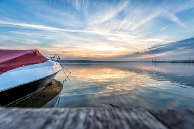
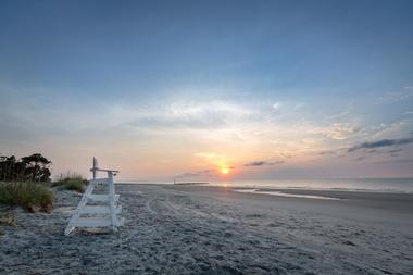
Answer: South Carolina has 187 miles of Atlantic Ocean coastline, known as the Low Country. -
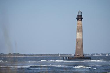
Question: What are the Sea Islands, and why are they significant?
Answer: The Sea Islands are a long chain of barrier and tidal islands off the coast of South Carolina, rich in history and spectacular beauty, constantly changing with the tides and currents. -
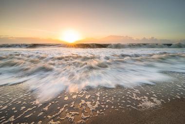
Question: What attracts tourists to the Sea Islands?
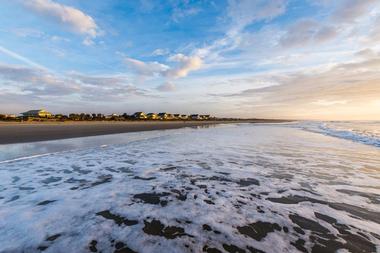
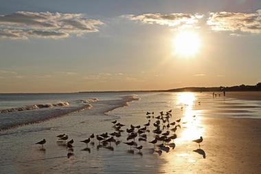
Answer: The islands are famous for their magnificent long and wide sandy beaches, which attract thousands of tourists. -
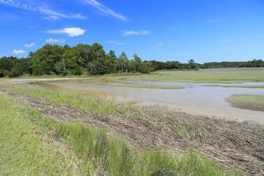
Question: How are residents helping to preserve the Sea Islands?
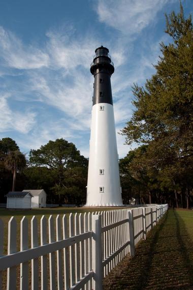
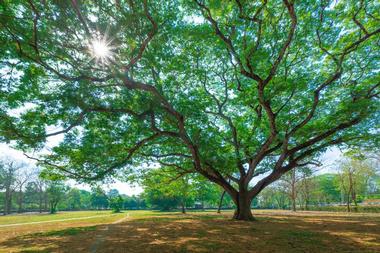
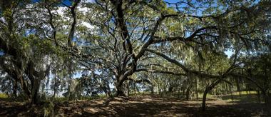
Answer: Residents are devoted to preserving the islands’ fragile ecosystems, with large tracts of land protected in parks or wildlife refuges. -
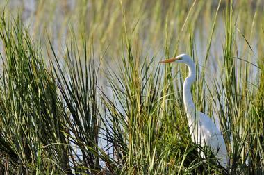
Question: What can nature enthusiasts enjoy on the Sea Islands?
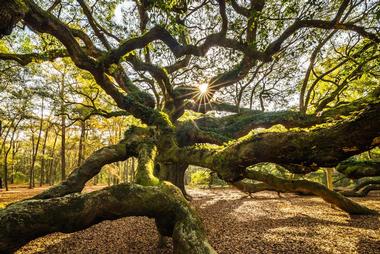
Answer: The islands are full of birds and offer opportunities to explore preserved natural areas.


Quick Hilton Head Island weekend itinerary:
Map:
Plan Your Trip