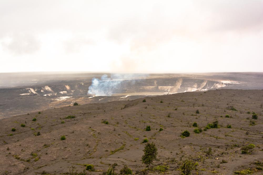
Pu'u Pua'i Overlook
The Pu'u Pua'i Overlook is the next place to stop on the Crater Rim Drive Tour. Forceful trade winds easily show on most days how this cone was created during the 1959 soaring lava fountaining. Road rerouting and rebuilding is an everyday reality at Hawai'i Volcanoes National Park, as such, sections of the old road are buried under Pu'u Pua'i. The spatter cone known as Pu'u Pua'I came to be from lava pumice cinders that close to the fountaining of Kilauea Iki, were hot enough to weld themselves together. The overlook is the upper starting point of Devastation Trail where visitors can get a complete view of Pu'u Pua'i.
Visitors can also drive to the Devastation Trail parking area which is half a mile from Pu'u Pua'i. From the parking area, a thirty minute hike leas to the cinder outfall of the eruption of Kilauea Iki in 1959. The half mile trail is paved and wheelchair accessible.
Keanakako'i Crater
Visitors aren't able to drive to Keanakako'i Crater, however, it can be reached by a .8 mile hike. The crater shows evidence of a short eruption that happened in 1982 which resulted in several hundred feet of roadway being covered. This lava has a smooth surface and is known as pahoehoe lava, while the chunky lava is known as a'a. The road was rebuilt after the eruption within six weeks.
Keanakako'i Crater is a pit crater and lies on the boundary fault that encircles the summit of Kilauea. Hawaiians had used stone from Keanakako'i to make tools until 1877 when its floor was buried. Another twenty feet of rock covered the crater's floor during an eruption in 1974. Visitors can view the fissures from the eruption in 1974 with still smoking fumaroles by carefully crossing the road and walking to the overlook. The overlook offers a spectacular view of the summits of Mauna Loa and Mauna Kea. Mauna Kea's summit is home to some of the largest astronomical observatories in the world.


